Image credits
Photos, maps and illustrations on this site come from Wikimedia Commons and public agencies under the licences listed below. Satellite imagery and map data have their own attribution at the end of the page.
Articles and pages
The biggest volcanic eruptions in history — and the VEI scale
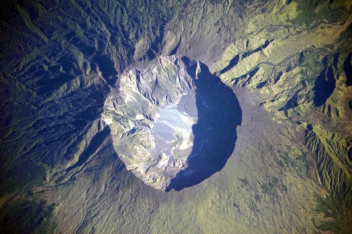 NASA Expedition 20 crew · public domain · Wikimedia Commons
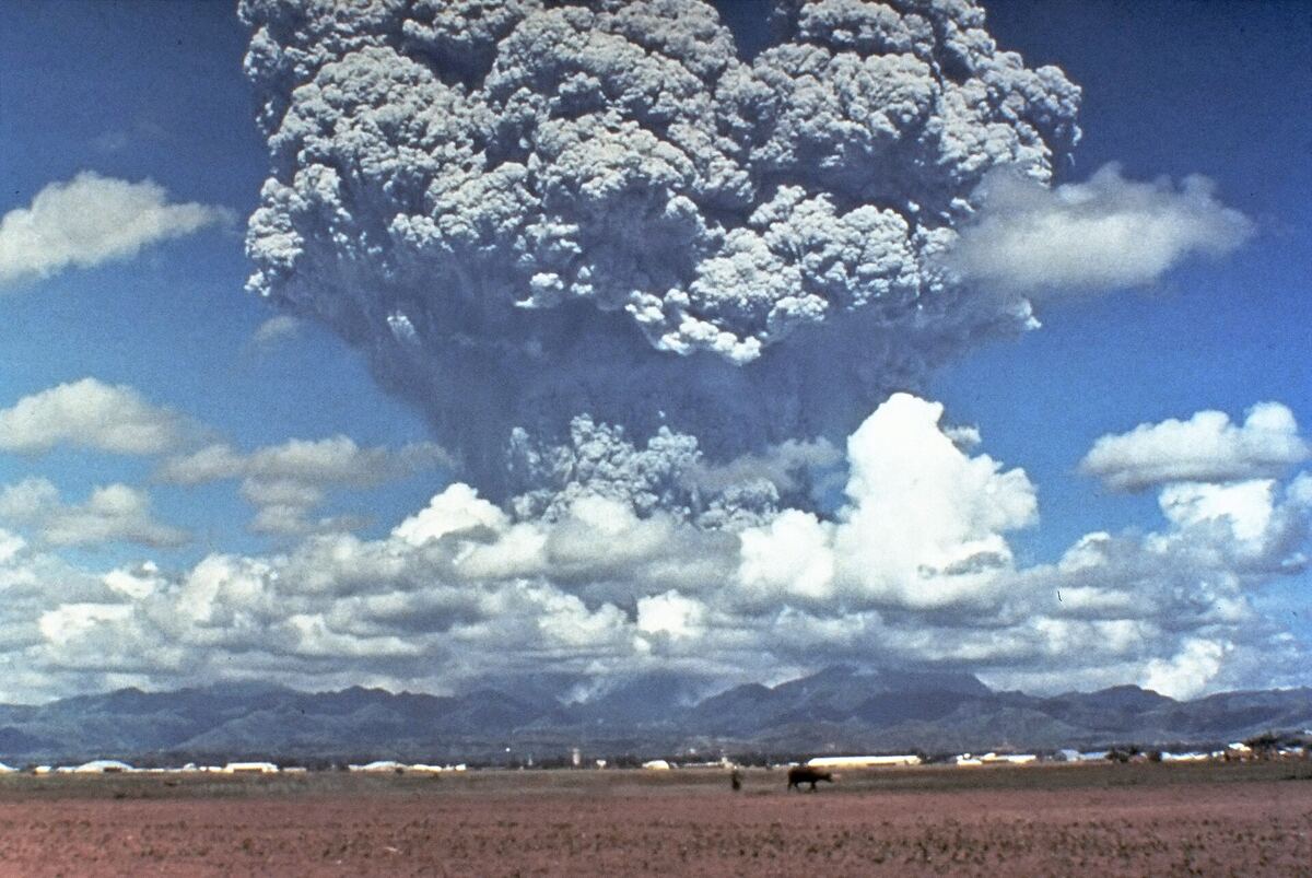 Dave Harlow, USGS · public domain · Wikimedia Commons
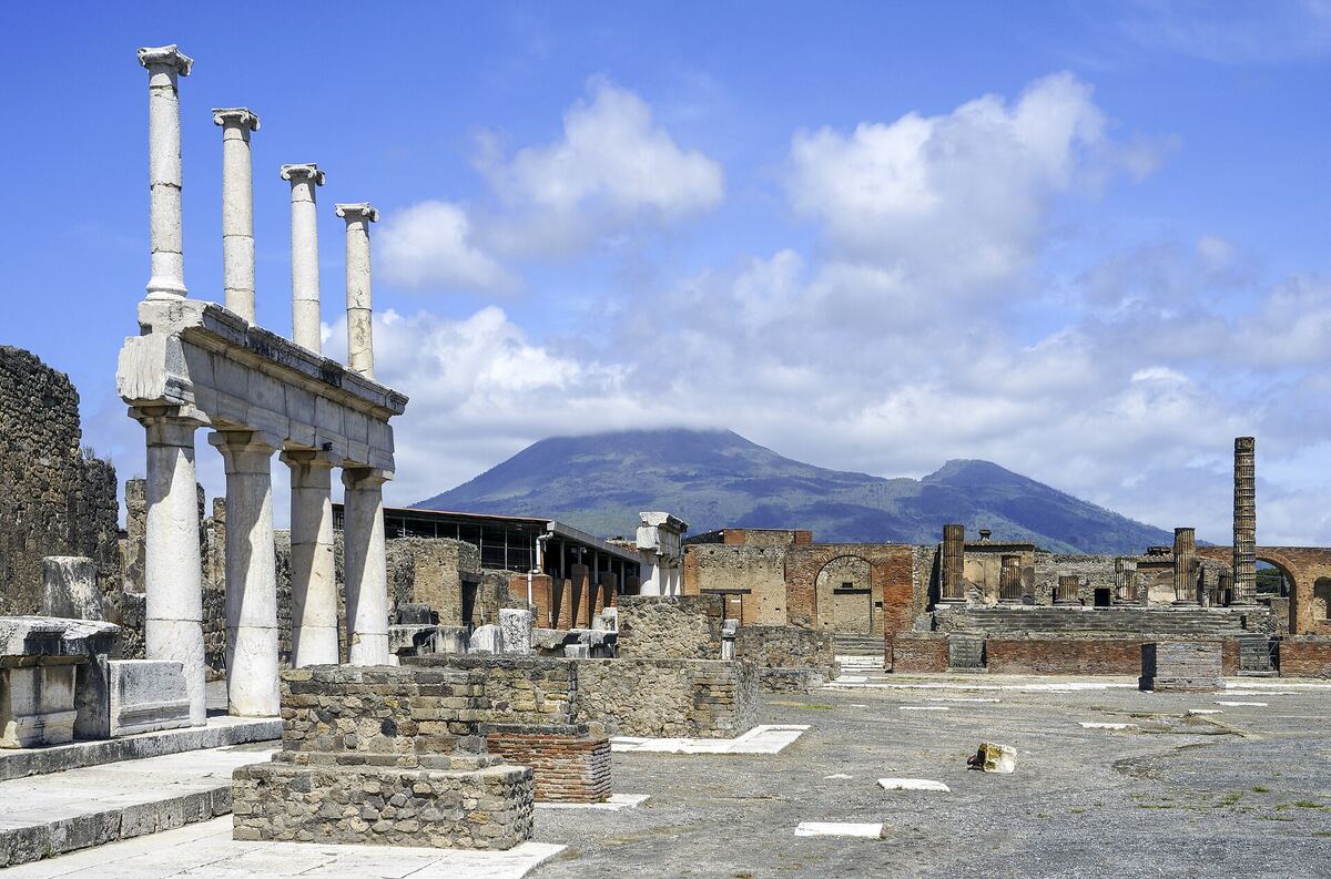 Commonists · CC BY-SA 4.0 · Wikimedia Commons
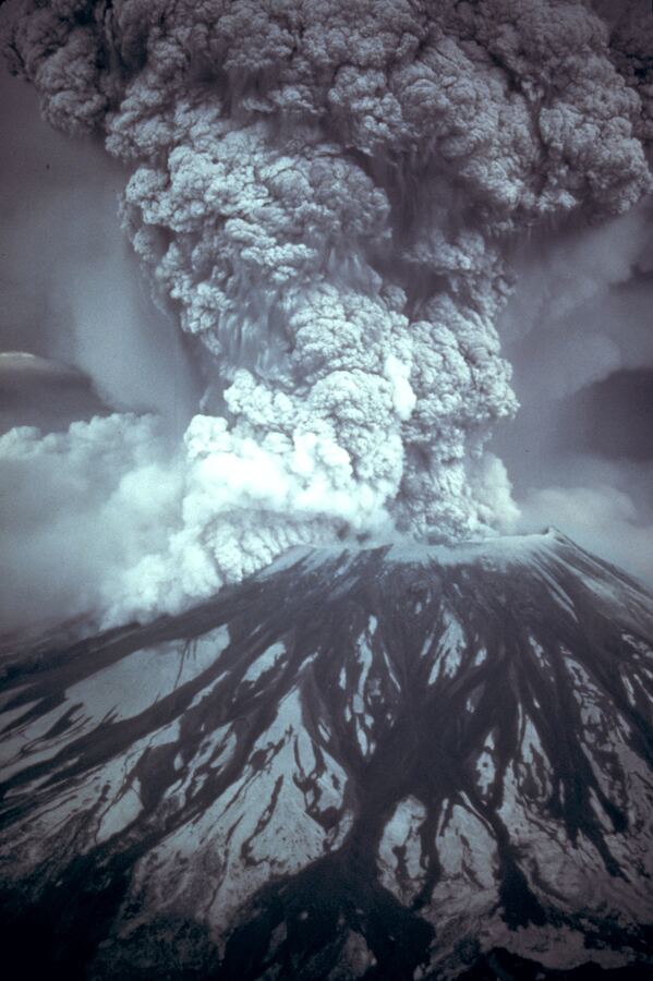 Austin Post, USGS · public domain · Wikimedia Commons
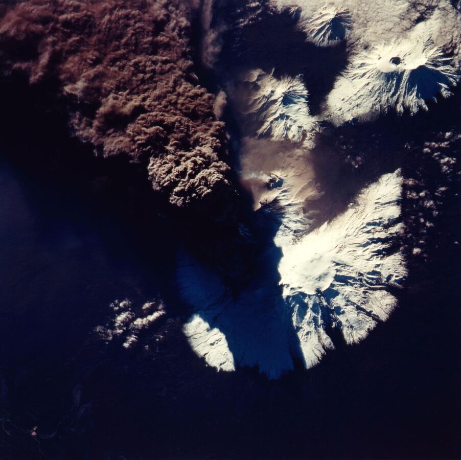 NASA · public domain · Wikimedia Commons
The deadliest and biggest tsunamis in history
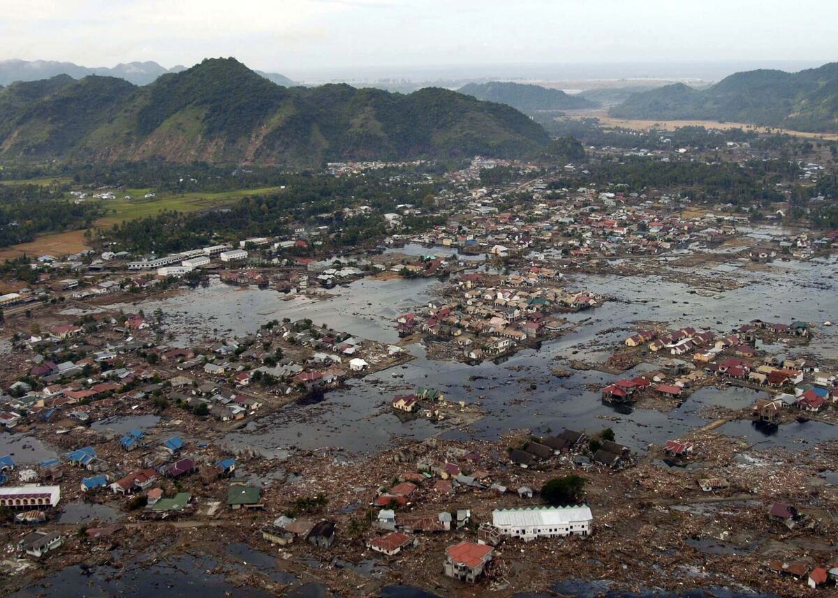 U.S. Navy / Philip A. McDaniel · public domain · Wikimedia Commons
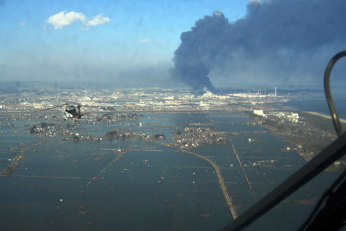 U.S. Navy · public domain · Wikimedia Commons
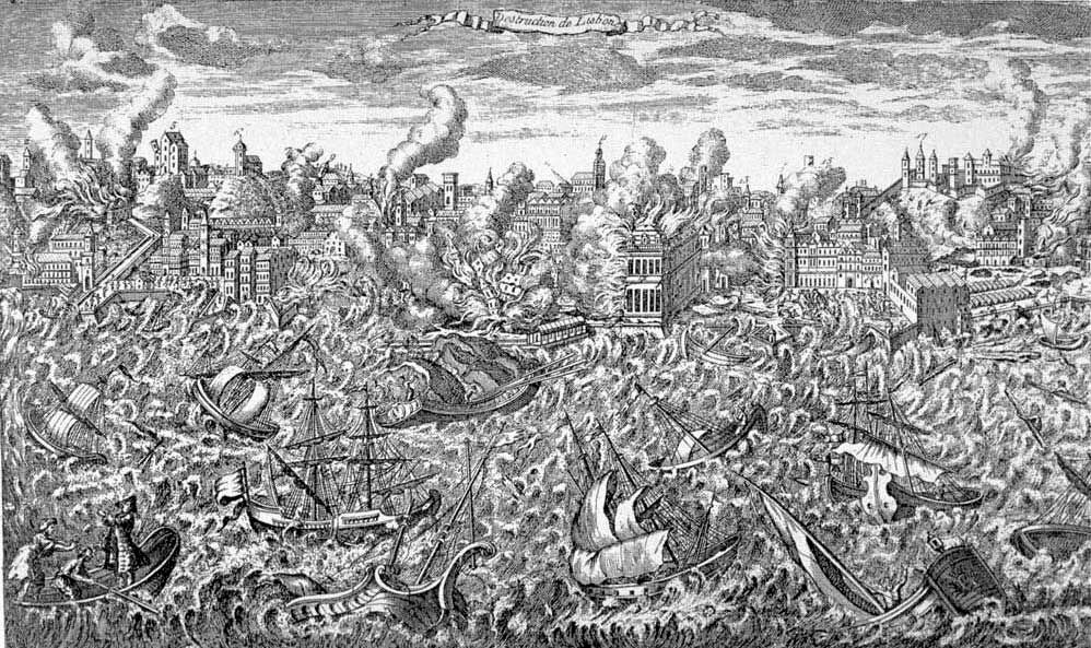 unknown author · public domain · Wikimedia Commons
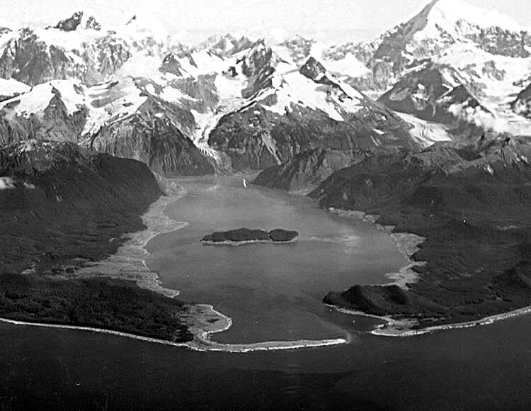 D.J. Miller, USGS · public domain · Wikimedia Commons
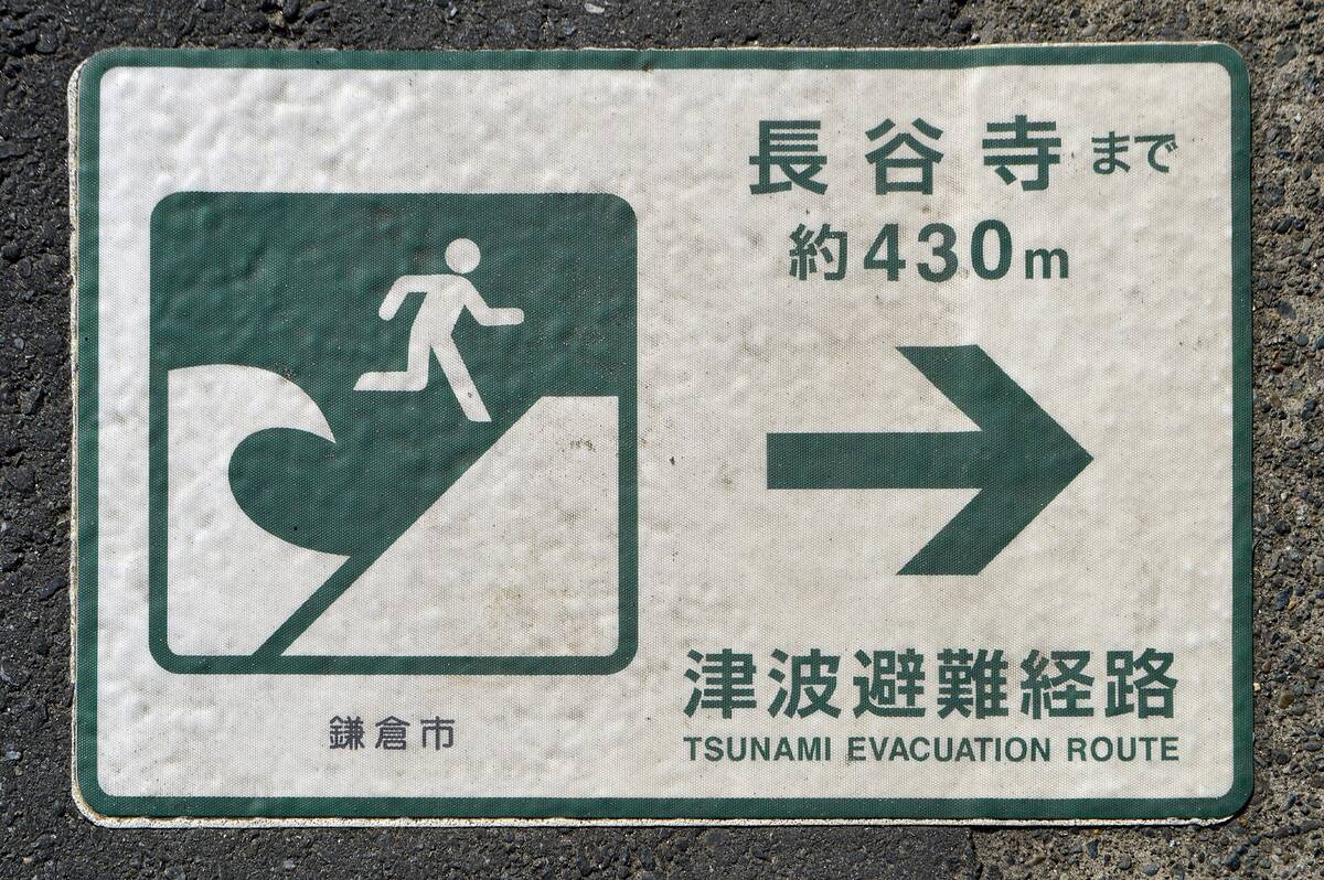 DimiTalen · CC0 · Wikimedia Commons
What an asteroid impact does, size by size
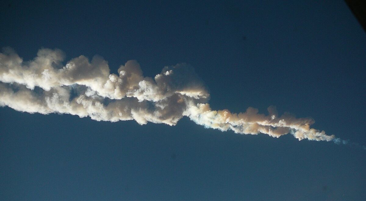 Nikita Plekhanov · CC BY-SA 3.0 · Wikimedia Commons
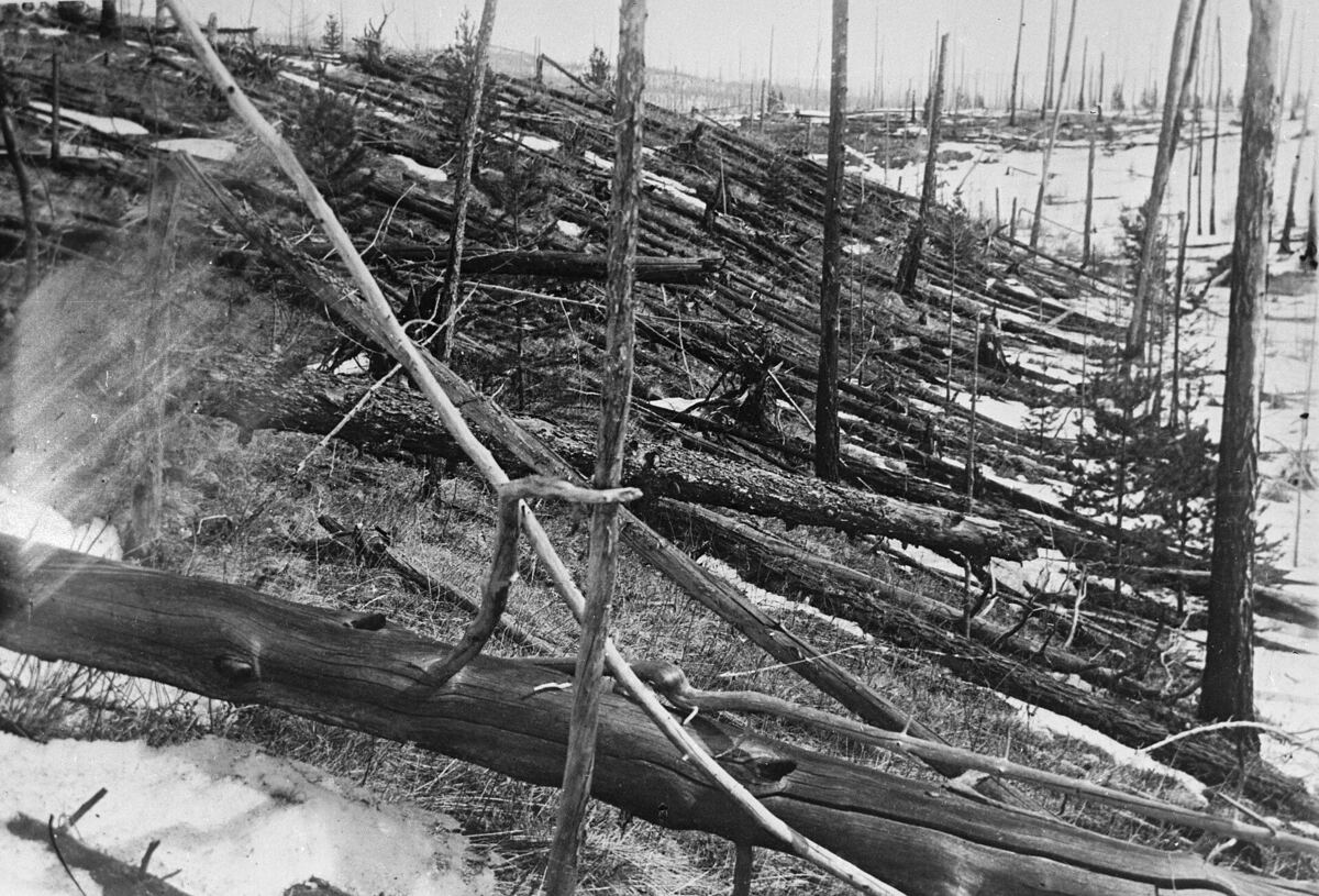 Leonid Kulik expedition · public domain · Wikimedia Commons
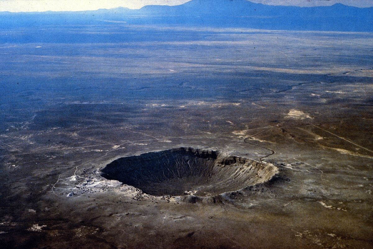 USGS / D. Roddy · public domain · Wikimedia Commons
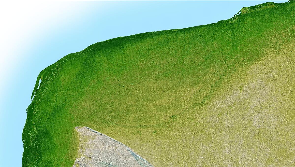 NASA/JPL, Shuttle Radar Topography Mission · public domain · Wikimedia Commons
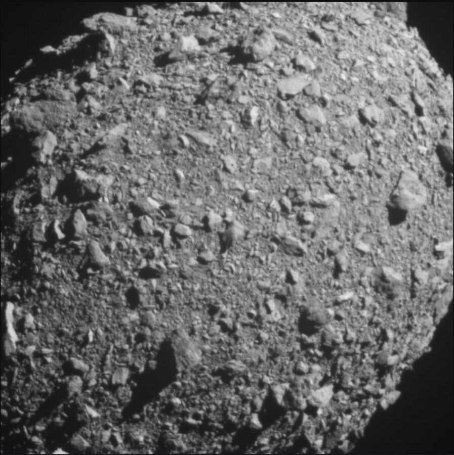 NASA/Johns Hopkins APL · public domain · Wikimedia Commons
Sea level rise: how much, how fast, and which cities it reaches first
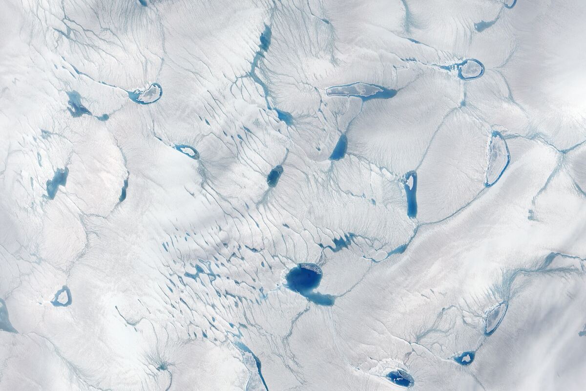 NASA Goddard Space Flight Center · public domain · Wikimedia Commons
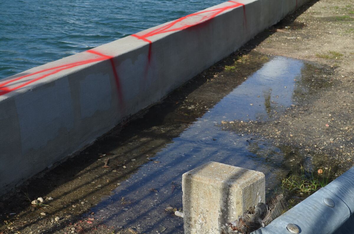 B137 · CC BY-SA 4.0 · Wikimedia Commons
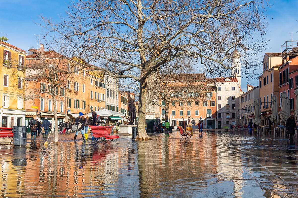 Marco Ober · CC BY-SA 4.0 · Wikimedia Commons
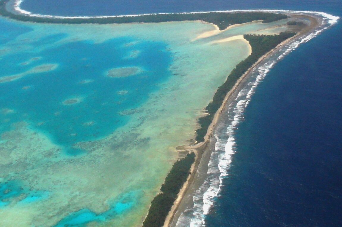 Lily-Anne Homasi / DFAT · CC BY 2.0 · Wikimedia Commons
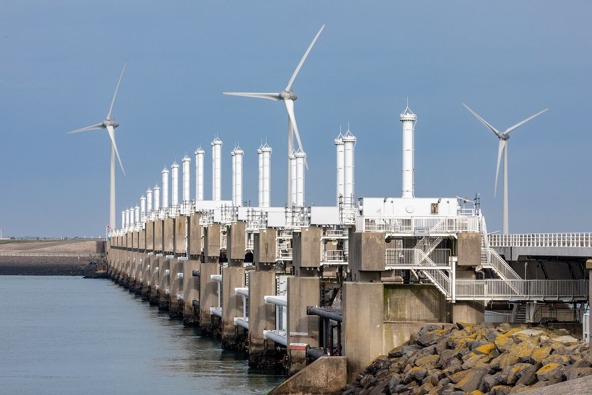 Dietmar Rabich · CC BY-SA 4.0 · Wikimedia Commons
The strongest and deadliest earthquakes — and how magnitude really works
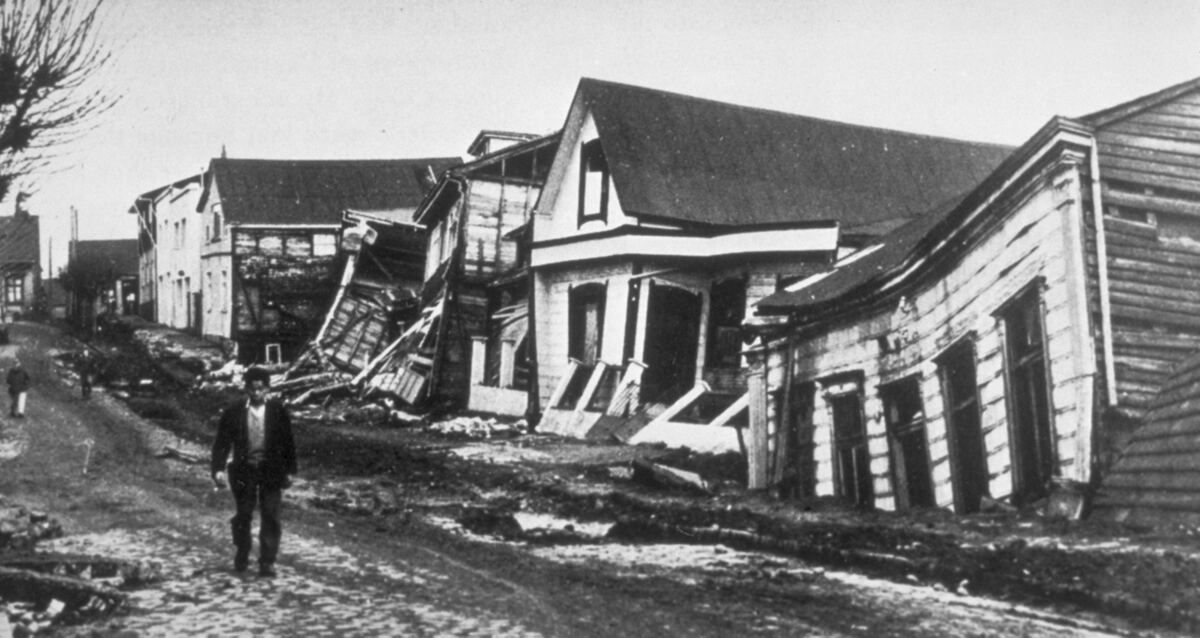 Pierre St. Amand / NOAA, via Wikimedia Commons, public domain · public domain · Wikimedia Commons
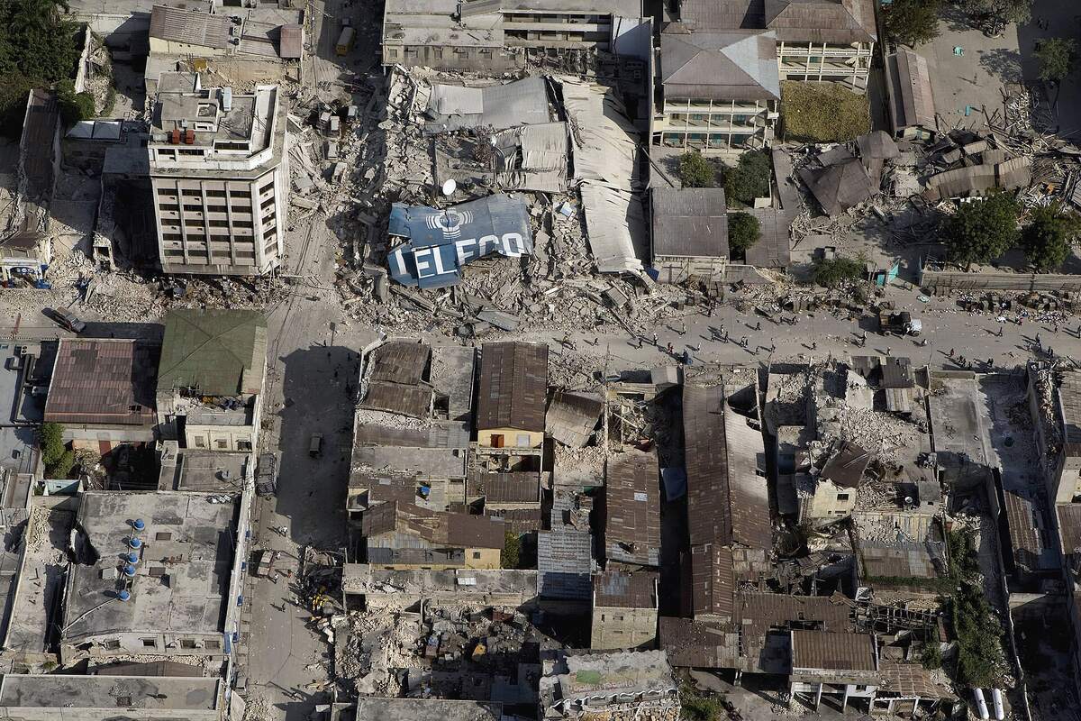 UN Photo / Logan Abassi · CC BY 2.0 · Wikimedia Commons
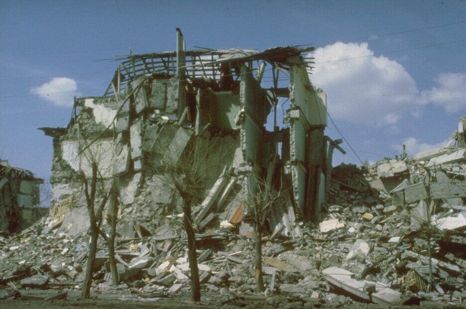 C. J. Langer, USGS · public domain · Wikimedia Commons
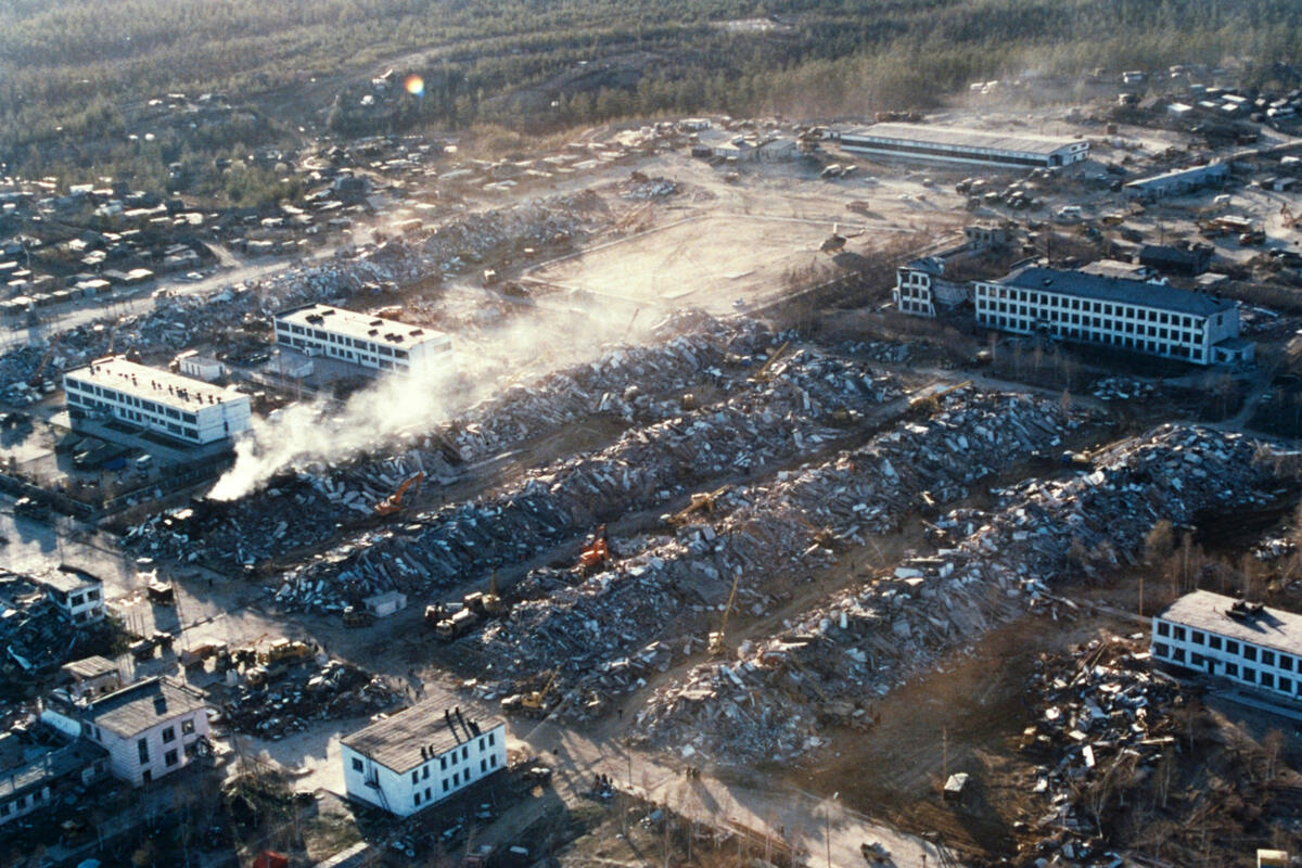 EMERCOM of Russia · CC BY 4.0 · Wikimedia Commons
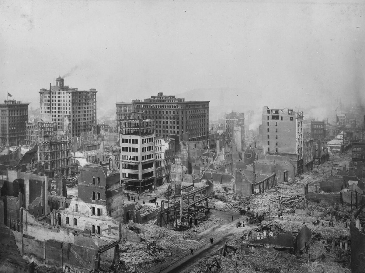 H. D. Chadwick / U.S. National Archives, via Wikimedia Commons, public domain · public domain · Wikimedia Commons
Ice age map
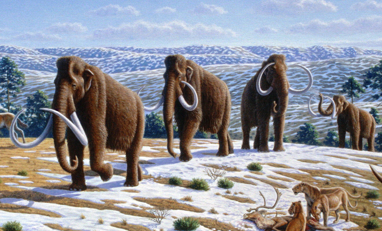 Mauricio Antón · CC BY 2.5 · Wikimedia Commons
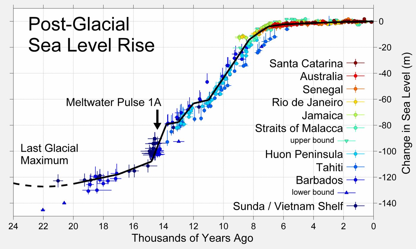 Robert A. Rohde · CC BY-SA 3.0 · Wikimedia Commons
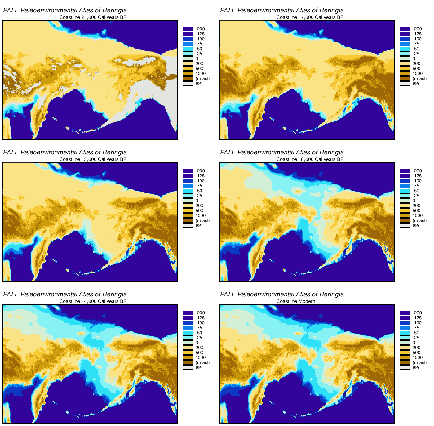 NOAA · public domain · Wikimedia Commons
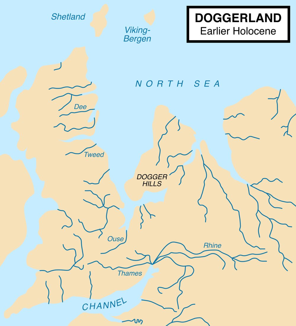 Max Naylor · CC BY-SA 3.0 · Wikimedia Commons
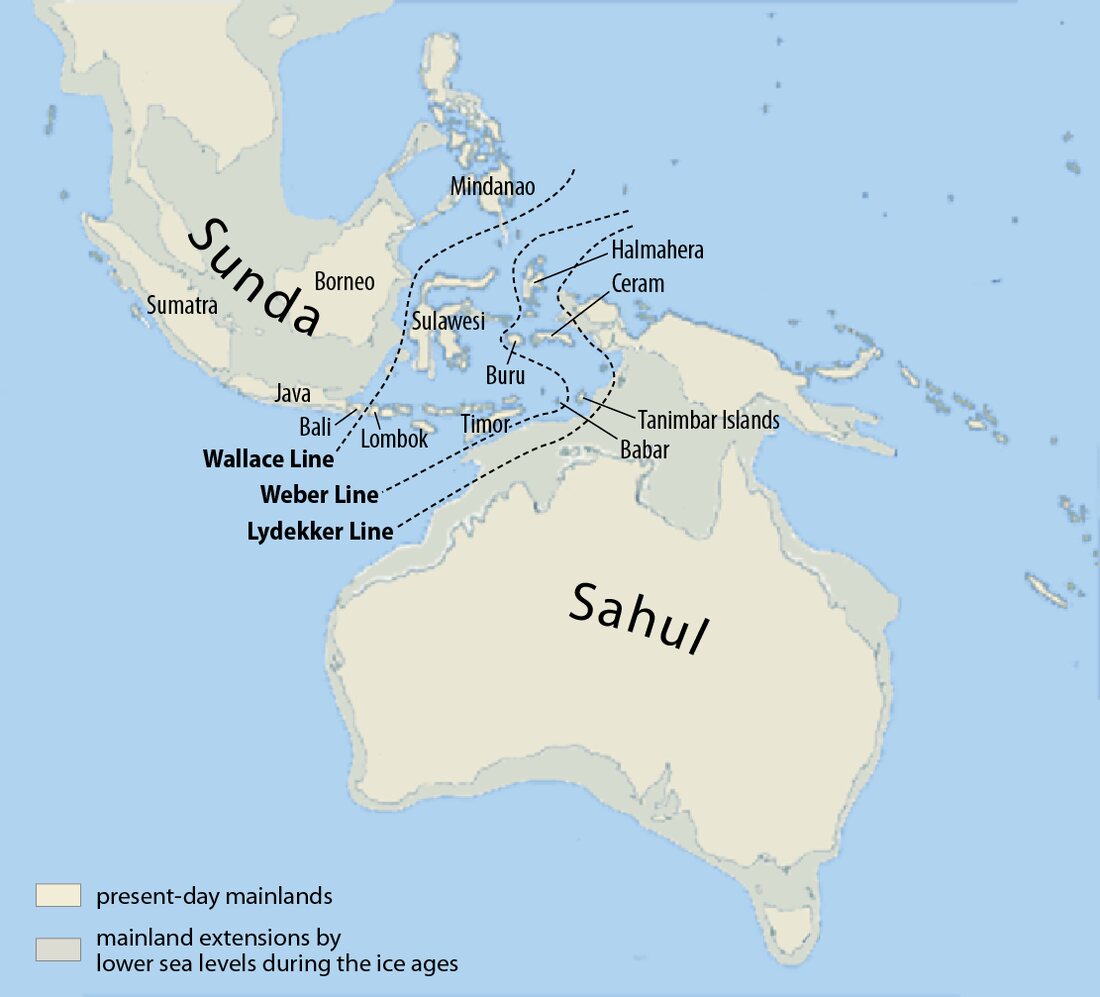 Maximilian Dörrbecker (Chumwa) · CC BY-SA 3.0 · Wikimedia Commons
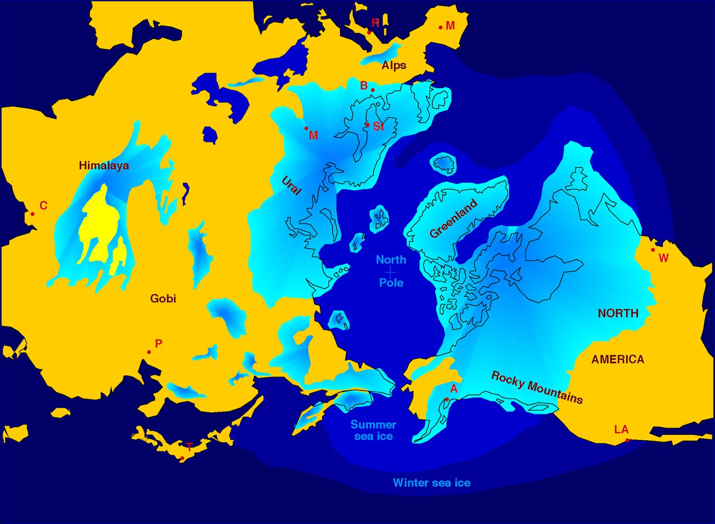 Hannes Grobe, AWI · CC BY 2.5 · Wikimedia Commons
Real events
M7.0 deep-focus earthquake west of Japan's Bonin Islands, Oct 2026
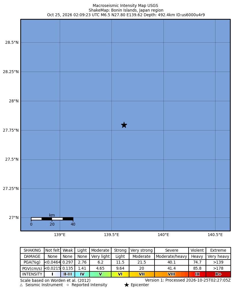 United States Geological Survey · Public domain · Wikimedia Commons
Deep M7.0 Bonin Islands earthquake shakes Ogasawara and Tokyo
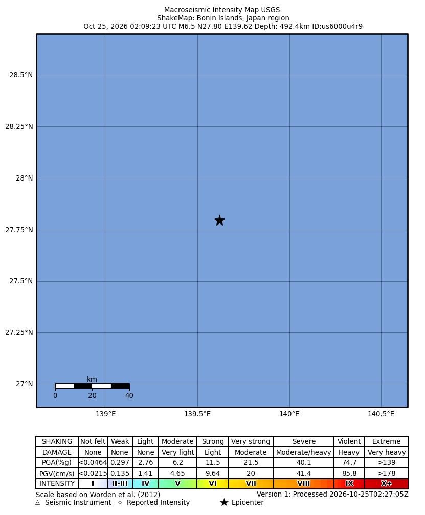 United States Geological Survey · Public domain · Wikimedia Commons
Mw 7.0 Baqên County earthquake, Nagqu, Tibet: October 2026 review
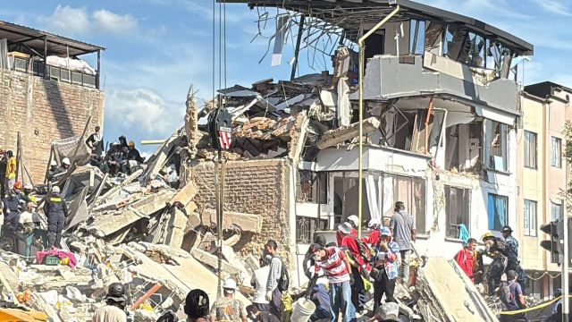 World Central Kitchen · CC BY 4.0 · Wikimedia Commons
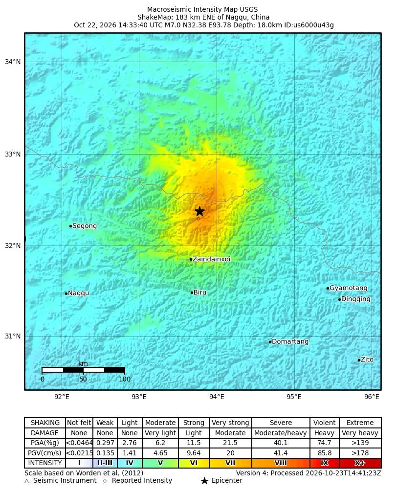 United States Geological Survey · Public domain · Wikimedia Commons
Magnitude 6.9 earthquake: Kamchatka Peninsula, Russia
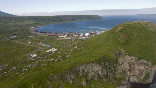 Victor Morozov · CC BY-SA 2.5 · Wikimedia Commons
Super Typhoon Champi: the 10-mile miss south of Guam
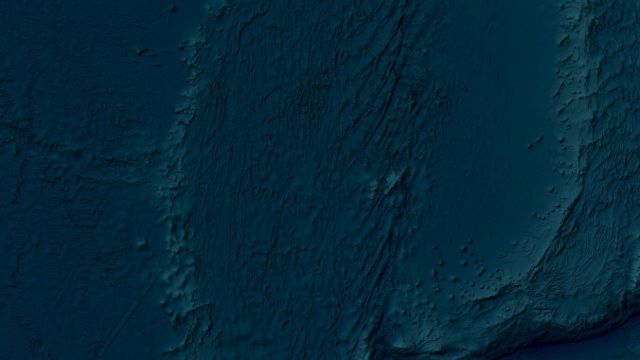 Unknown authorUnknown author · CC BY 4.0 · Wikimedia Commons
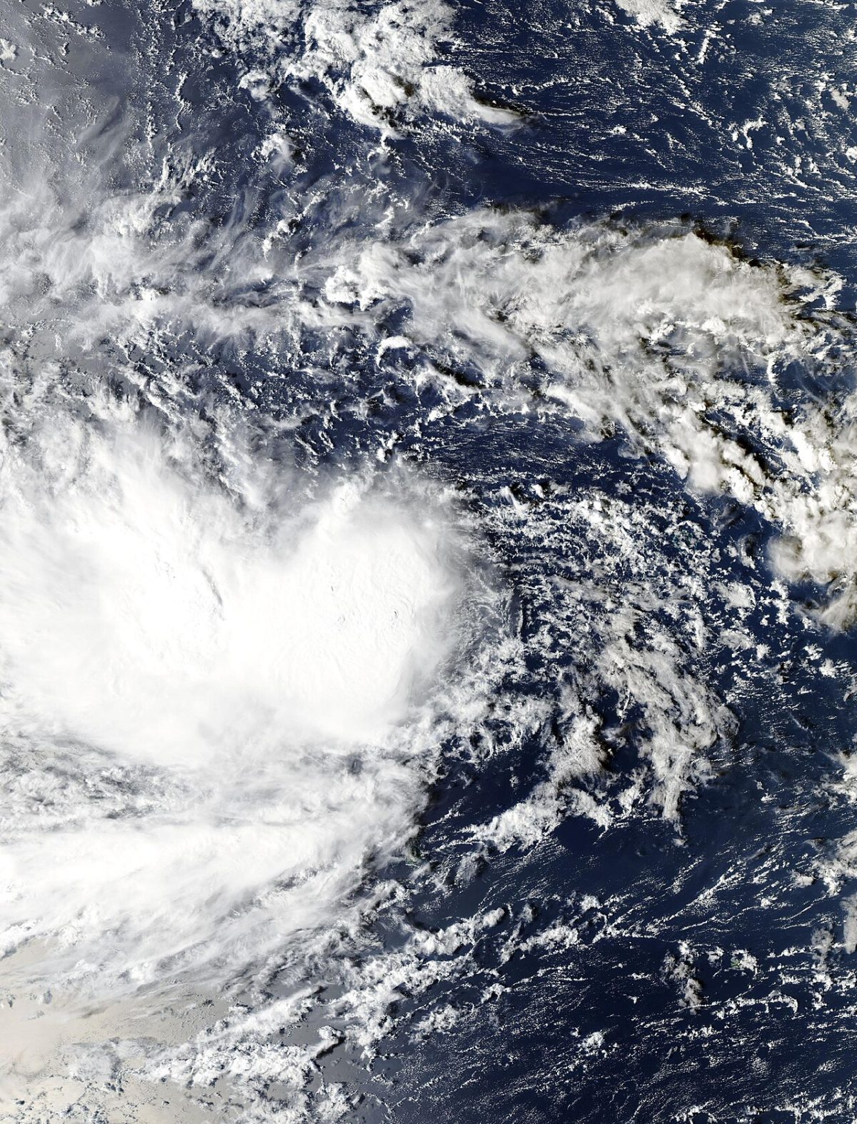 MODIS from NOAA's Aqua satellite · Public domain · Wikimedia Commons
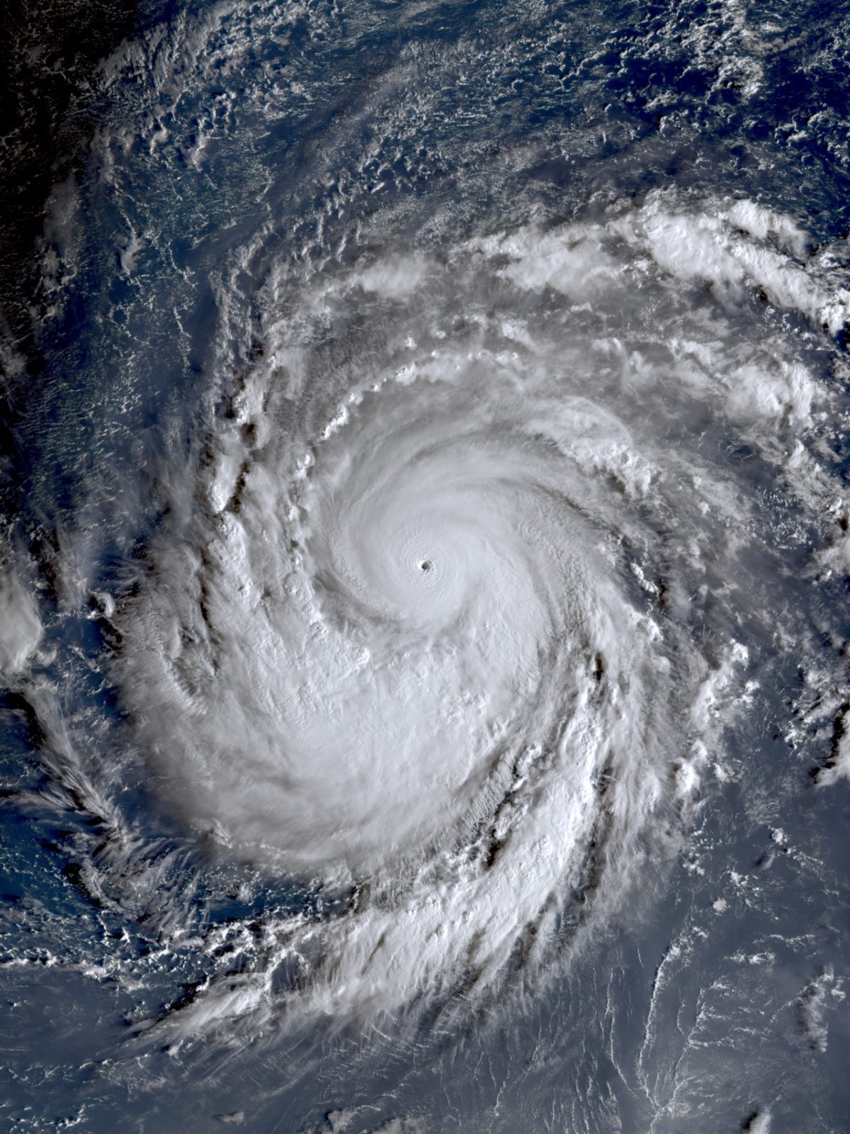 JMA Himawari-9 · CC BY 4.0 · Wikimedia Commons
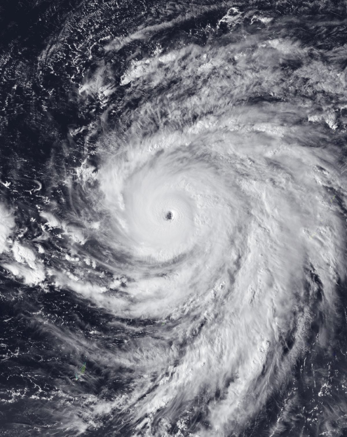 AHI imagery from JMA's Himawari-9 satellite · Public domain · Wikimedia Commons
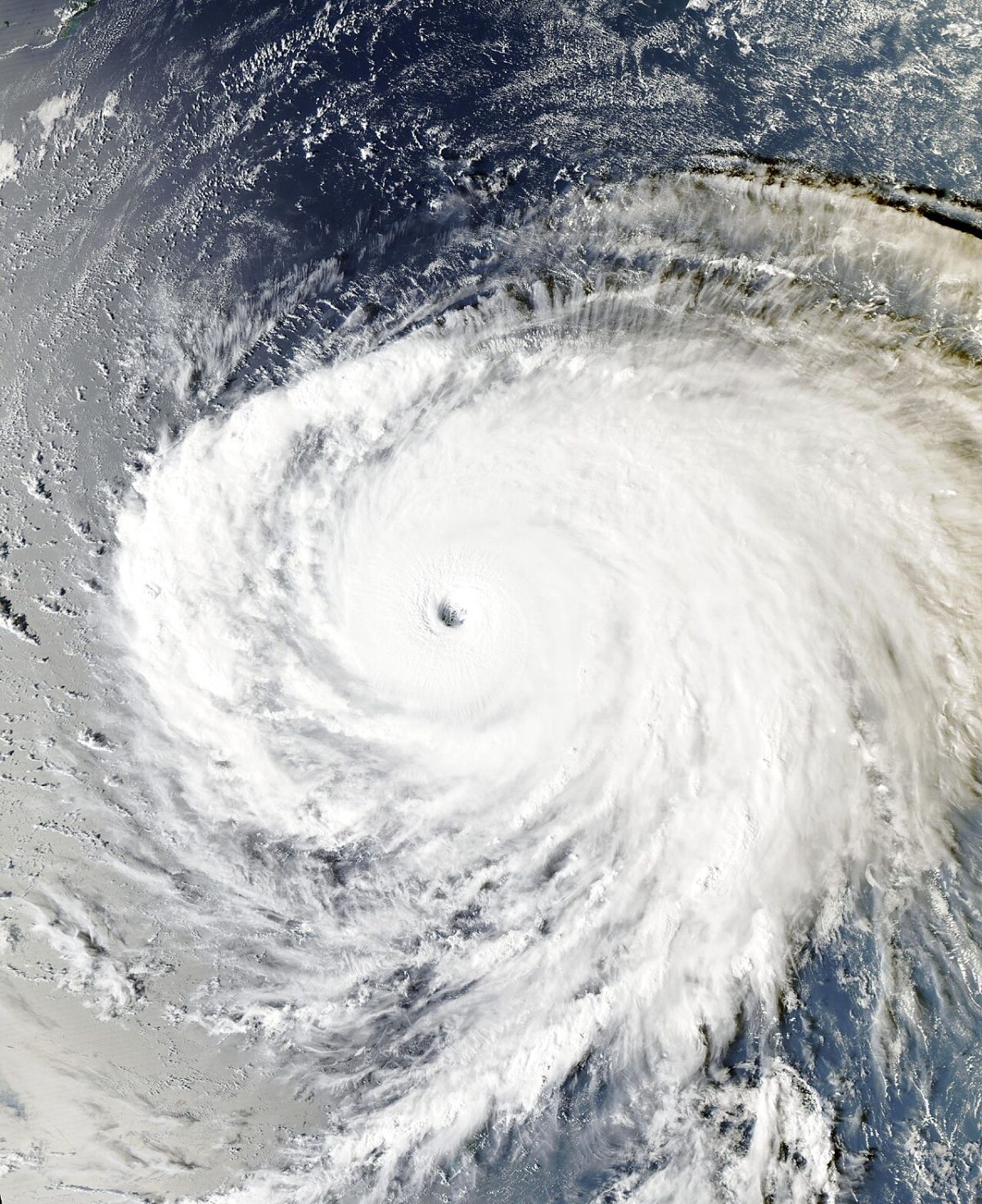 MODIS imagery from NOAA's Aqua satellite · Public domain · Wikimedia Commons
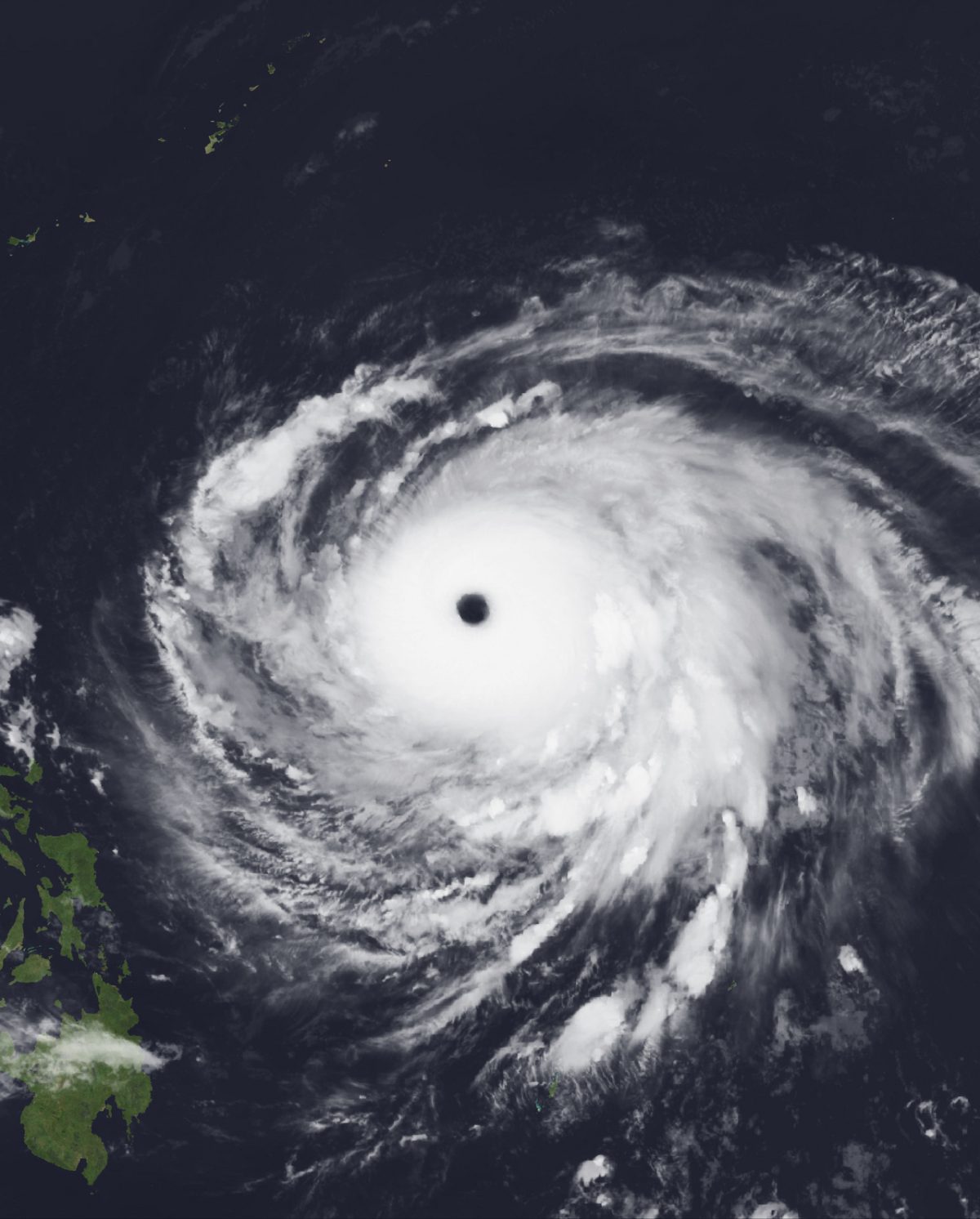 AHI imagery from JMA's Himawari-9 satellite · Public domain · Wikimedia Commons
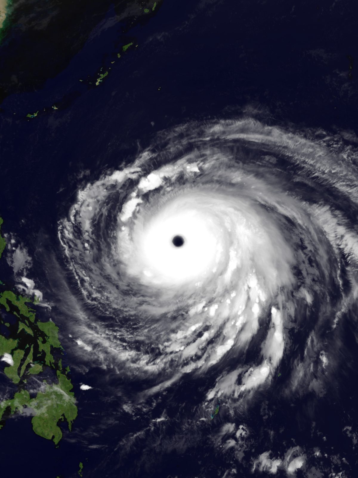 JMA Himawari-9 · CC BY 4.0 · Wikimedia Commons
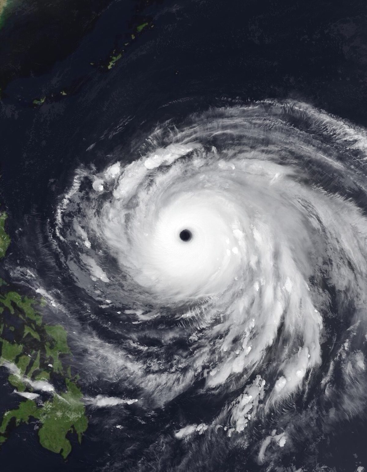 VIIRS Nighttime Imagery from NOAA’s NOAA-20 Satellite, superimposed by ViridLeWiki, data plotted by OneFortyTwoK · Public domain · Wikimedia Commons
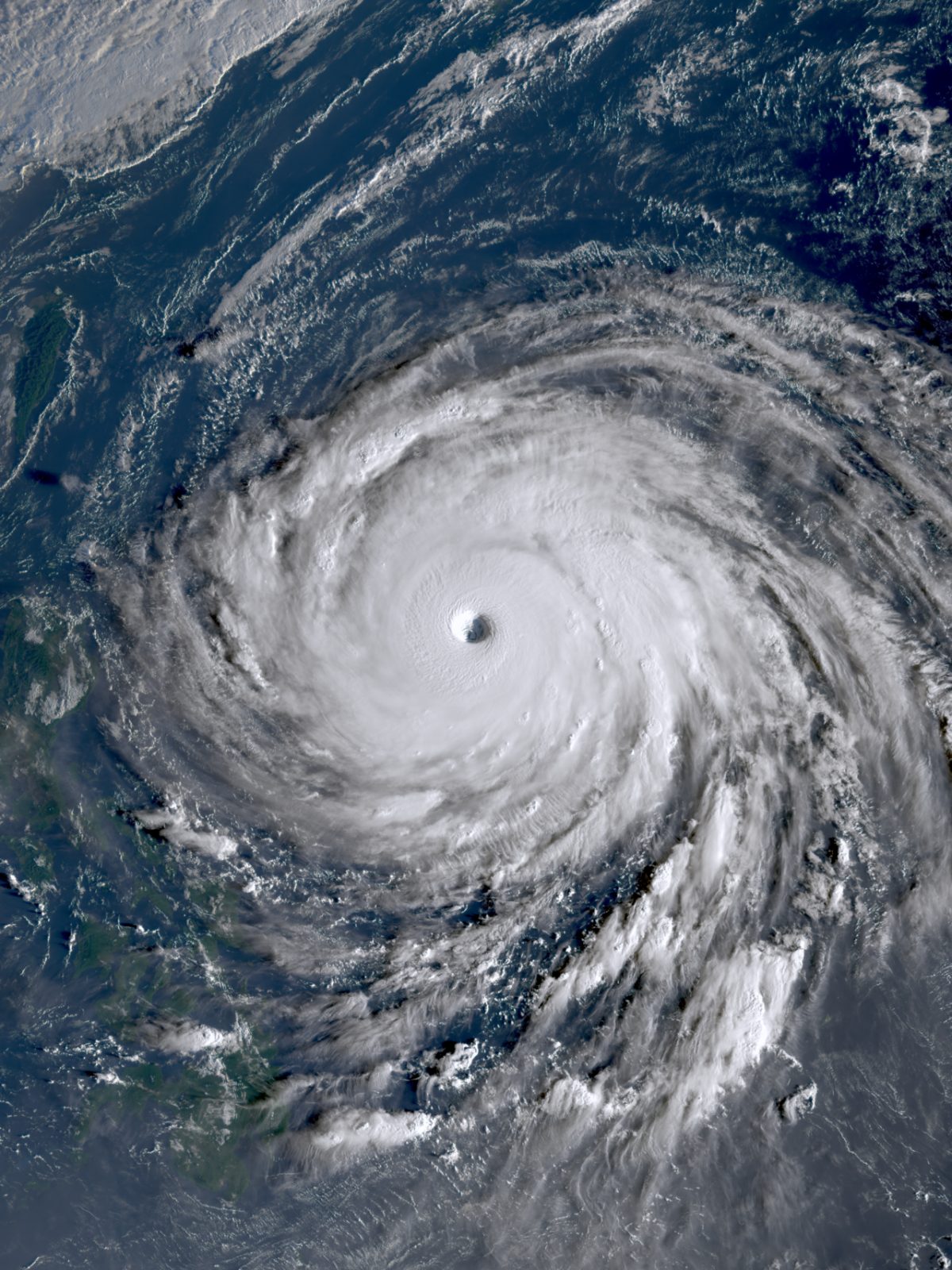 KMA Chollian-2A (Geo-KOMPSAT-2A) · CC BY 4.0 · Wikimedia Commons
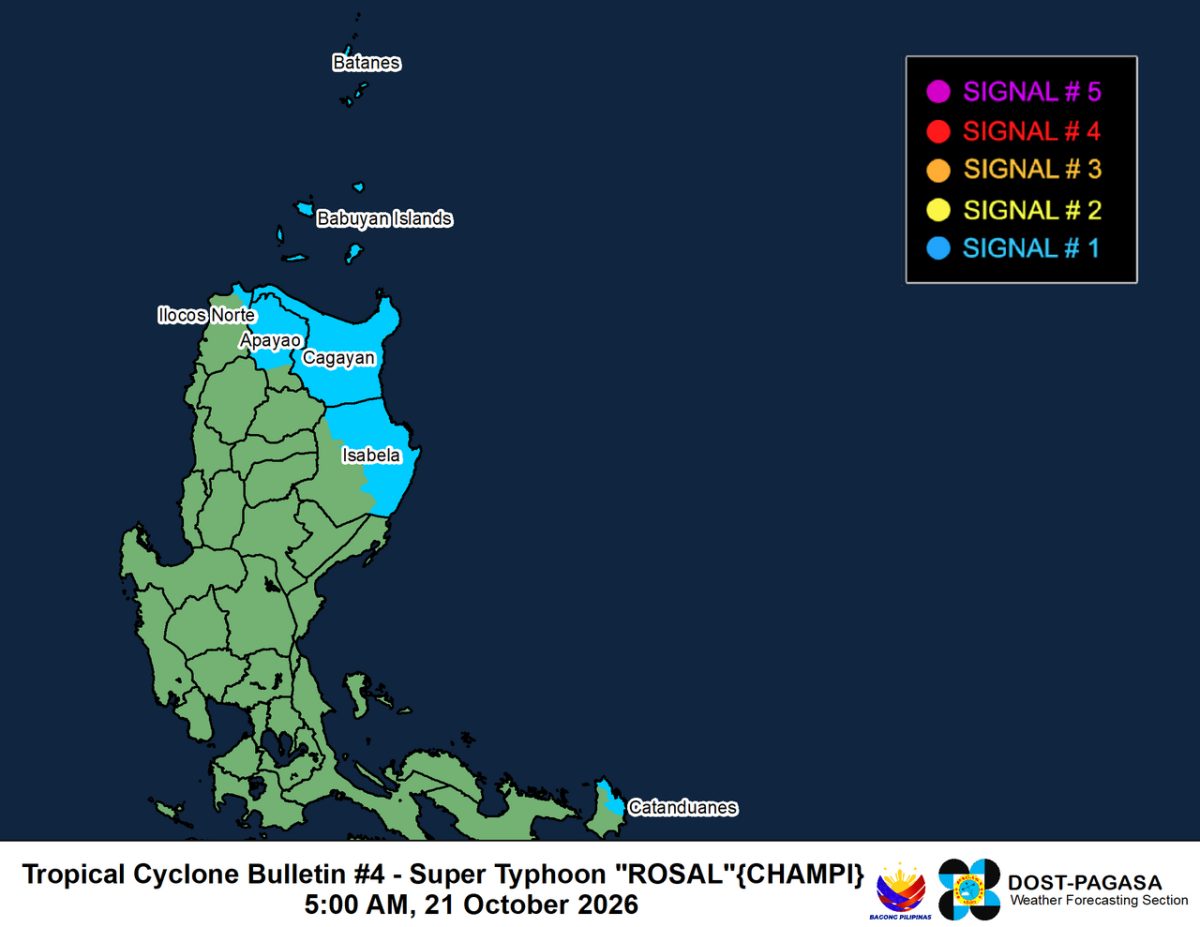 Unknown authorUnknown author · CC BY 4.0 · Wikimedia Commons
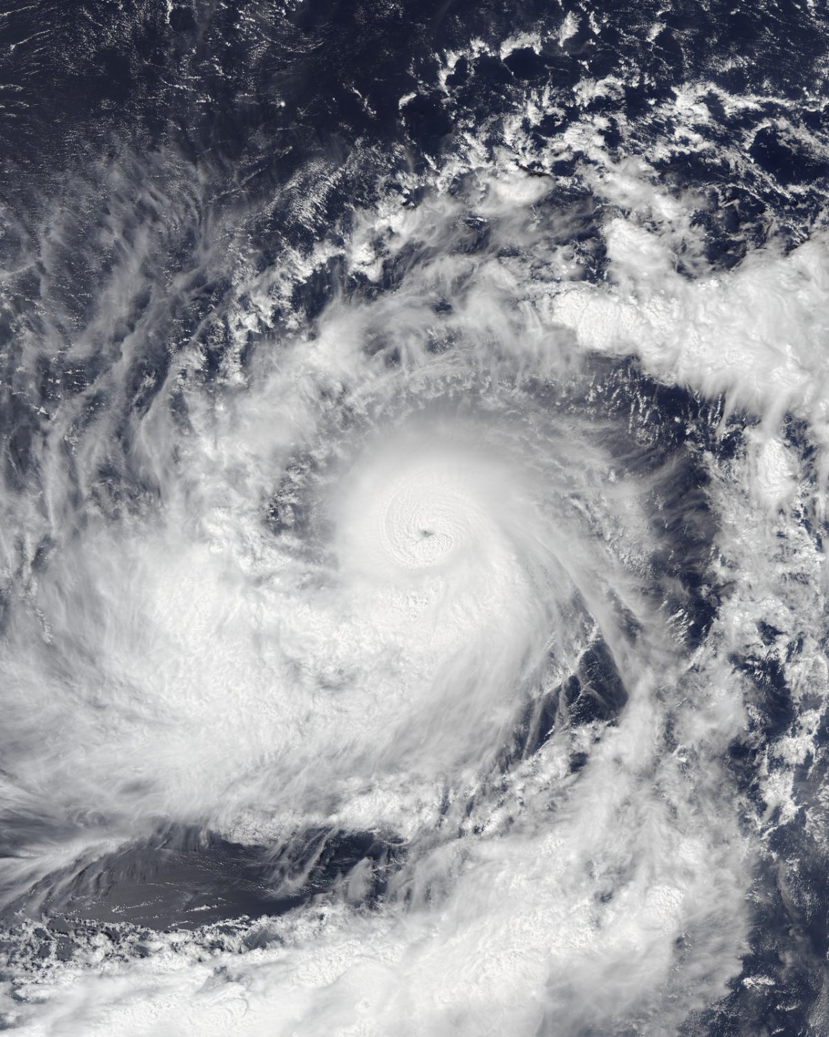 VIIRS imagery from NOAA's NOAA-20 satellite · Public domain · Wikimedia Commons
- Video: Marianas Press, YouTube · youtube.com
Magnitude 6.0 earthquake: New Britain region, Papua New Guinea
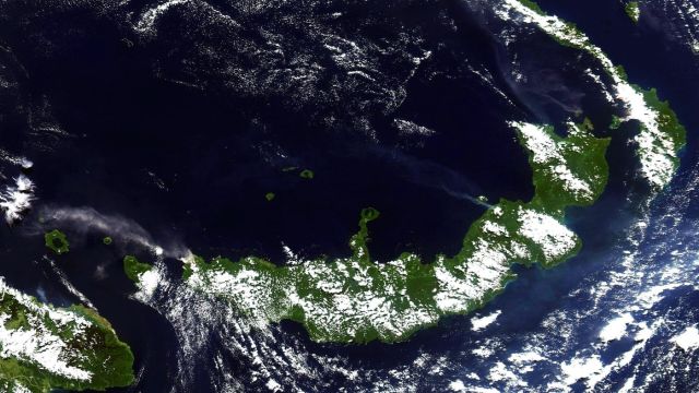 NASA image courtesy Jesse Allen, based on data from the MODIS Rapid Response Team at NASA GSFC · Public domain · Wikimedia Commons
Magnitude 6.1 earthquake: Veraguas coast, Panama
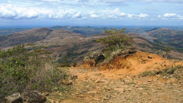 Wikimedia Commons · CC BY-SA 3.0 · Wikimedia Commons
Volcanic eruption: Kanlaon, Philippines
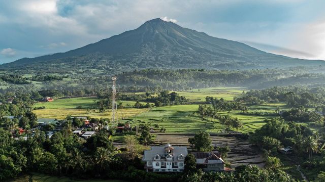 Bien02 · CC BY 4.0 · Wikimedia Commons
Magnitude 6.0 earthquake: Los Santos Province, Panama
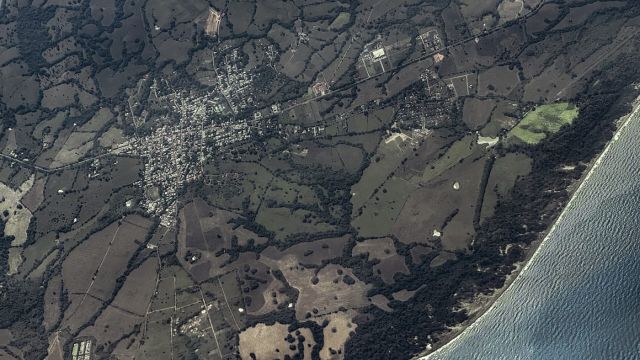 WMrapids · CC0 · Wikimedia Commons
Magnitude 6.6 earthquake: Veraguas coast, Panama
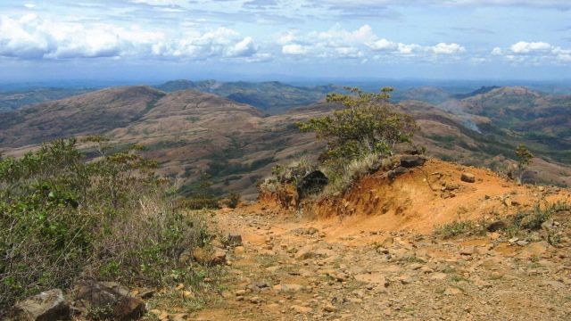 Wikimedia Commons · CC BY-SA 3.0 · Wikimedia Commons
Panama M7.7 earthquake on the Azuero Peninsula, 9 October 2026
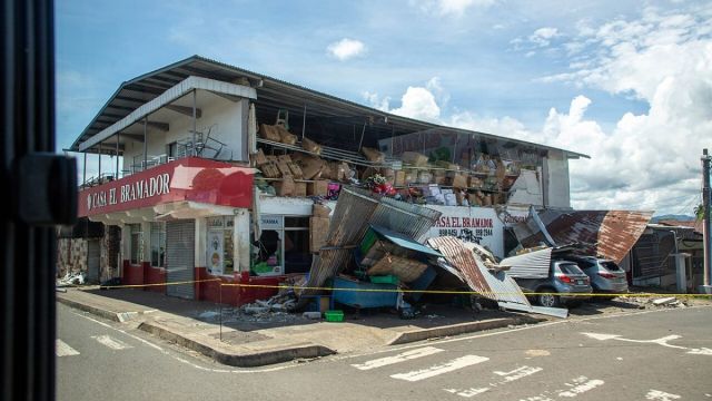 U.S. Army photo by Pfc. Carolyn Dodge · Public domain · Wikimedia Commons
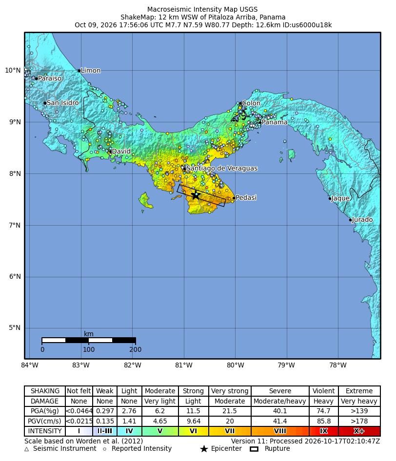 Shaking intensity map. USGS ShakeMap, public domain. · earthquake.usgs.gov
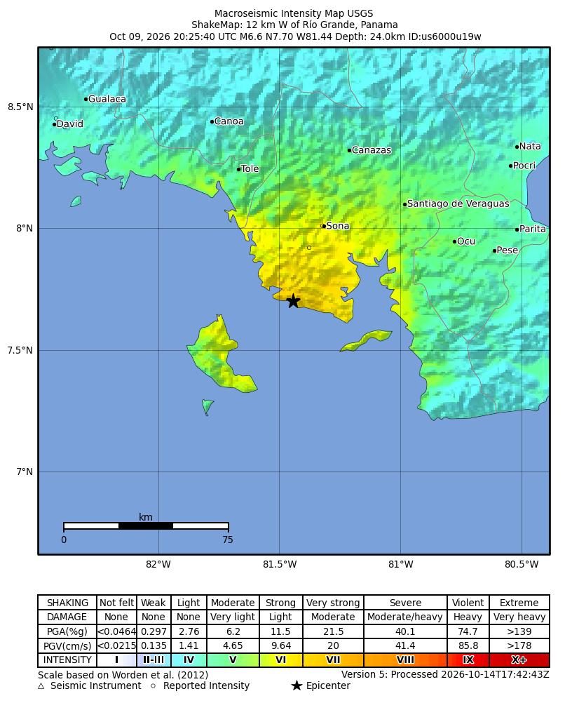 United States Geological Survey · Public domain · Wikimedia Commons
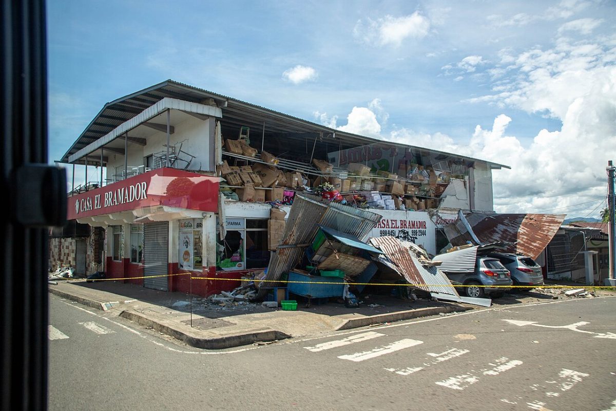 U.S. Army photo by Pfc. Carolyn Dodge · Public domain · Wikimedia Commons
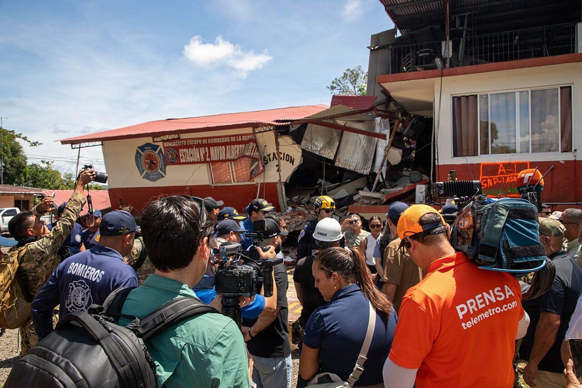 U.S. Army photo by Pfc. Carolyn Dodge · Public domain · Wikimedia Commons
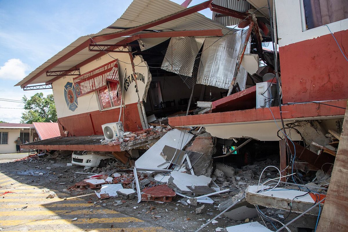 U.S. Army photo by Pfc. Carolyn Dodge · Public domain · Wikimedia Commons
- Video: La Prensa Gráfica Noticias de El Salvador, YouTube · youtube.com
- Video: CNN en Español, YouTube · youtube.com
Volcanic eruption: Taal, Philippines
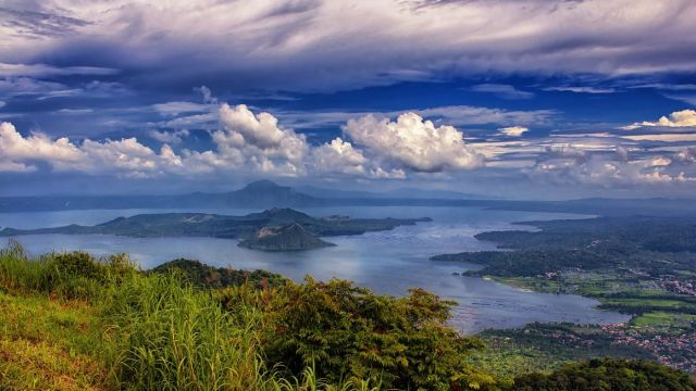 Ray in Manila · CC BY 2.0 · Wikimedia Commons
Magnitude 6.7 earthquake: Loyalty Islands, New Caledonia
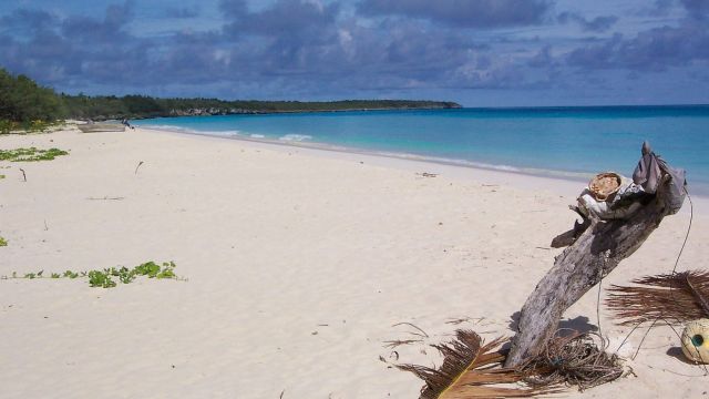 Wikimedia Commons · Public domain · Wikimedia Commons
Maps and data
Satellite imagery: Esri, Maxar, Earthstar Geographics. Map data: © OpenStreetMap contributors. Shaking maps: USGS ShakeMap, public domain. Place data: GeoNames, CC BY 4.0. Earthquake, cyclone, volcano, fireball and asteroid data: USGS, GDACS and NASA.