Real events · Earthquake · 24 October 2026
Deep M7.0 Bonin Islands earthquake shakes Ogasawara and Tokyo
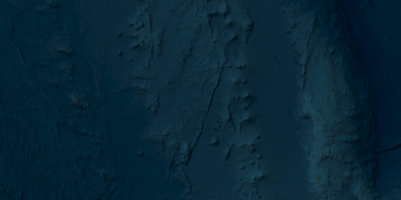
Satellite view of the area · Esri, Maxar, Earthstar Geographics
A large earthquake struck nearly 500 km beneath the sea west of the Ogasawara (Bonin) Islands on 25 October 2026. Because it was so deep, shaking at the surface was mild, no tsunami formed, and no damage had been reported as of 25 October.
Key facts
- Time
- 24 October 2026, 02:09 UTC
- Magnitude
- 7.0 (Mi)
- Depth
- 473.0 km
- Tsunami
- none
- Coordinates
- 28.00, 139.90
- Source
- USGS
What happened west of the Ogasawara Islands
At about 11:10 on Sunday 25 October 2026, Japan time, a deep-focus earthquake occurred under the sea west of the Ogasawara (Bonin) Islands. In UTC that is 02:09 on 25 October. In the United States it was still Saturday evening, 10:09 pm Eastern and 4:09 pm in Hawaii. Our own event record lists the UTC date as 24 October; every source we checked puts it on 25 October UTC, and the coordinates and depth match, so this is the same earthquake with the date off by one day.
The Japan Meteorological Agency (JMA) bulletin placed the hypocentre at 28.0N, 139.9E, about 470 km deep, with a preliminary magnitude of 7.0. NHK reported the same figures within minutes and said there was no risk of a tsunami.
The strongest shaking reached JMA intensity 3, recorded at Chichijima-Mikazukiyama and on Hahajima, both in Ogasawara village, Tokyo, according to Weathernews. Intensity 3 on the Japanese scale is felt by most people indoors and usually causes no structural damage.
Four agencies, several magnitudes
Readers following the news may have seen numbers ranging from 6.3 to 7.0. That spread is normal for a fast-moving event measured by different methods.
- JMA: M7.0 (preliminary, JMA magnitude), about 470 km deep.
- US tsunami warning centres: initial M7.0 (Mwp), 473 km deep, per the National Tsunami Warning Center. This is the Mi 7.0 value carried in our record.
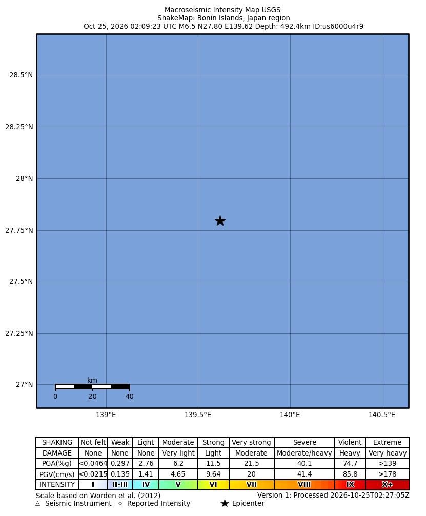
- USGS: M6.5 at 492.4 km.
- EMSC and GFZ: M6.3, at 497 km and 486 km respectively, as compiled by Quakemap24.
Initial tsunami-centre magnitudes are computed in the first minutes to decide whether to warn coastlines. Later solutions use more stations and longer records. None of these differences changes the main picture: a large earthquake, very deep, with little effect at the surface.
Why Tokyo felt it more than nearer places
Shaking of intensity 1 or 2 was felt across a wide band from Tohoku to Tokai, NHK reported. Tokyo's Chiyoda ward recorded intensity 2, according to tenki.jp, and intensity 1 reached as far north as Aomori Prefecture.
That pattern has a name in Japanese seismology: ijō shin'iki, or abnormal seismic intensity. The Pacific Plate dives steeply beneath the Philippine Sea Plate at the Izu-Bonin Trench. Weathernews says this earthquake probably occurred inside that deeply subducted slab. Seismic waves travel efficiently along the cold, rigid slab towards the Japan and Izu-Bonin trenches, so places far to the north, like Kanto and Tohoku, can feel more than areas closer to the epicentre. Deep quakes rarely produce tsunamis because the energy is released hundreds of kilometres below the sea floor, too deep to lift it.
How it compares with earlier deep quakes here
This region produces large deep earthquakes every few years to decades. Japanese records citing JMA list an M7.2 in 1951 (490 km), an M7.3 in 1968 (460 km), an M7.1 in 1998 (467 km) and an M7.2 in 2000 (445 km).
The benchmark is the 30 May 2015 earthquake, Mj 8.1 and Mw 7.9, at about 680 km. It was felt in all 47 prefectures and reached intensity 5+ in Ogasawara and Kanagawa. About a dozen people suffered minor injuries, mostly around Tokyo, and there were brief power cuts in Saitama. The 2026 event was much smaller, peaking at intensity 3.
More recent neighbours include an M6.9 deep quake on 27 April 2024 and an M6.3 on 8 July 2024, both producing intensity 3 with no reported damage. Weathernews notes that the 2026 earthquake was the first M7 or larger in this area since 2015, and the first deep quake there to reach intensity 3 or more since 8 July 2024. In the JMA-based list on Yahoo! Weather, it is the largest of the 69 events shown for the region.
What our simulator shows
HazardSim draws circular zones around an epicentre for estimated intensities 6, 7 and 8, then counts the people living in OpenStreetMap towns inside each zone. For this event, using the Mi 7.0 magnitude and 473 km depth, all three zones have a radius of 0 km. They contain no towns and no people.
That result comes mostly from depth. A source nearly 500 km down is far from any point on the surface, and our simplified model lets intensity fall off with that distance. The model does not represent slab guiding, so it cannot reproduce the abnormal intensity pattern that brought light shaking to Tokyo and Tohoku. Its zones also use a different scale from JMA intensity, so the two sets of numbers are not directly comparable. Here the model and the observations agree on the main point: nowhere was shaken hard enough to expect damage.
Aftermath
As of 25 October 2026, no deaths, injuries, displaced people or damage had been reported. Japanese reports from the first hour, including NHK, Weathernews and JMA figures carried by Xinhua, mention only intensities and tsunami status. Breaking The News, citing USGS, said no material damage or casualties had been reported. We found no official casualty statements from Japan's Fire and Disaster Management Agency, the Tokyo Metropolitan Government or Ogasawara village.
JMA issued no tsunami warning. The NTWC statement at 02:26 UTC said Alaska, British Columbia and the US West Coast faced no tsunami threat, citing the depth, and KITV reported that Hawaii was not under a tsunami watch.
The USGS recorded an M4.8 aftershock at 02:36 UTC on 25 October, at 27.687N 139.739E and 498.9 km deep. Deep earthquakes typically produce fewer aftershocks than shallow ones of similar size.
What the simulator shows
At this depth and distance from the nearest towns the model finds no populated place with shaking above intensity V.
This is a simplified model, not a damage report. Real effects depend on soil, buildings, terrain and the details of the event.
Sources
- Official data: USGS
- GeoNames (CC BY 4.0): geonames.org
- U.S. Geological Survey: USGS event page pt26298050
- Niigata Nippo (JMA bulletin): 震源=気象庁発表(25日11時17分)
- NHK: 深発地震 小笠原で震度3 広い範囲で揺れ観測(11:10)
- Weathernews: 小笠原諸島西方沖でM7.0の深発地震 異常震域がみられ東北でも揺れ
- Weathernews: 小笠原諸島西方沖でM7.0の深発地震 東京都小笠原村で震度3 津波の心配なし
- tenki.jp via Yahoo! News Japan: 東京都小笠原村で震度3の地震 津波の心配なし 千代田区で震度2と関東~東北で揺れ
- EconoTimes: Deep 7.0 Quake Strikes Japan's Bonin Islands; Center Reports No Tsunami Threat
- KITV Island News: No tsunami threat to Hawaii after 7.0M earthquake near Bonin Islands, Japan
- Quakemap24: M6.5 Earthquake near Bonin Islands, Japan region (multi-agency comparison)
- Wikipedia (English): 2015 Ogasawara earthquake
This review was compiled with AI assistance from the sources listed below and checked against official data.
More recent events
Click a point to open the event
 M6.1Magnitude 6.1 earthquake: Espiritu Santo Island, Vanuatu
 M6.5Magnitude 6.5 earthquake: Bonin Islands, Japan
 M6.3Magnitude 6.3 earthquake: Torres Islands, Vanuatu
 M6.9Magnitude 6.9 earthquake: Torres Islands region, Vanuatu
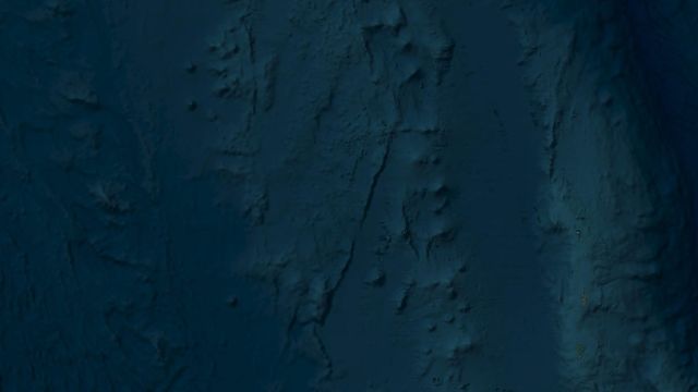 M7.0ReviewM7.0 deep-focus earthquake west of Japan's Bonin Islands, Oct 2026
 M7.0ReviewMw 7.0 Baqên County earthquake, Nagqu, Tibet: October 2026 review