Natural disaster knowledge base
In-depth guides to the hazards the simulator models: what actually happened, how big these things get, and what the numbers mean, with charts, photos and sources.
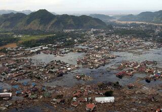
The deadliest and biggest tsunamis in history
Why the deadliest tsunamis (2004, Tōhoku, Lisbon) and the biggest (Lituya Bay, 524 m) are different lists — plus speed, run-up and survival.
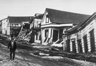
The strongest and deadliest earthquakes — and how magnitude really works
Richter vs moment magnitude, the biggest quakes on record (Chile 1960, 9.5) and the deadliest — and why buildings matter more than size.
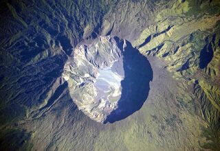
The biggest volcanic eruptions in history — and the VEI scale
The VEI scale explained through Toba, Yellowstone, Tambora, Krakatoa, Pinatubo, Pompeii and St. Helens — volumes, death tolls, climate.
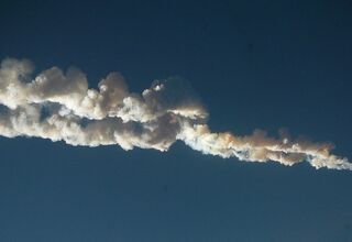
What an asteroid impact does, size by size
Car-sized fireballs to Chicxulub: what each asteroid size does, how often it arrives, and why nothing known threatens Earth this century.
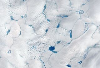
Sea level rise: how much, how fast, and which cities it reaches first
Current rate, IPCC 2050 and 2100 ranges, what sea level rise maps miss, and why sinking delta cities are in trouble first.