Real events · Earthquake · 24 October 2026
M7.0 deep-focus earthquake west of Japan's Bonin Islands, Oct 2026
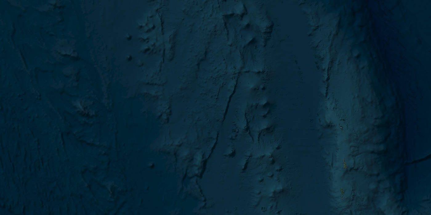
Satellite view of the area · Esri, Maxar, Earthstar Geographics
A large earthquake struck roughly 470 to 490 km below the sea west of Japan's Ogasawara (Bonin) Islands. Its great depth spread weak shaking across much of eastern Japan and posed no tsunami threat.
Key facts
- Time
- 24 October 2026, 02:09 UTC
- Magnitude
- 7.0 (Mi)
- Depth
- 473.0 km
- Tsunami
- none
- Coordinates
- 28.00, 139.90
- Source
- USGS
What happened west of the Ogasawara Islands
At about 02:09 UTC on 25 October 2026 (11:09 to 11:10 Japan time), a large earthquake occurred deep inside the Earth beneath the sea west of the Ogasawara Islands, also known as the Bonin Islands. The Japan Meteorological Agency (JMA) placed it at 28.0°N, 139.9°E, at a depth of about 470 km, and estimated its magnitude at 7.0. JMA named the source region 小笠原諸島西方沖, "west of the Ogasawara Islands", and said there was no tsunami threat.
One note on the date. Our event feed logged this earthquake as 24 October 2026 at 02:09 UTC. Every Japanese and international source we checked gives 25 October, so we use that date here. A separate and unrelated earthquake struck off northern Vanuatu on 24 October at 02:31 UTC (M6.9 according to USGS, M7.2 according to JMA). The two events were close in time, which could explain some of the confusion.
The strongest shaking was JMA intensity (shindo) 3, recorded at Chichijima Mikazukiyama and at Hahajima, both in Ogasawara Village, Tokyo. A Kyodo intensity bulletin issued at 11:12 JST listed Ogasawara as the only region with shindo 3 or higher.
The numbers, and why agencies disagree
Magnitude and depth estimates differ between agencies, which is normal for a deep event in its first hours and days:
- JMA: M7.0, depth about 470 km, 28.0°N 139.9°E.
- USGS / Pacific Tsunami Warning Center, preliminary: Mi 7.0, depth 473 km. This is the solution on the USGS event page pt26297050.
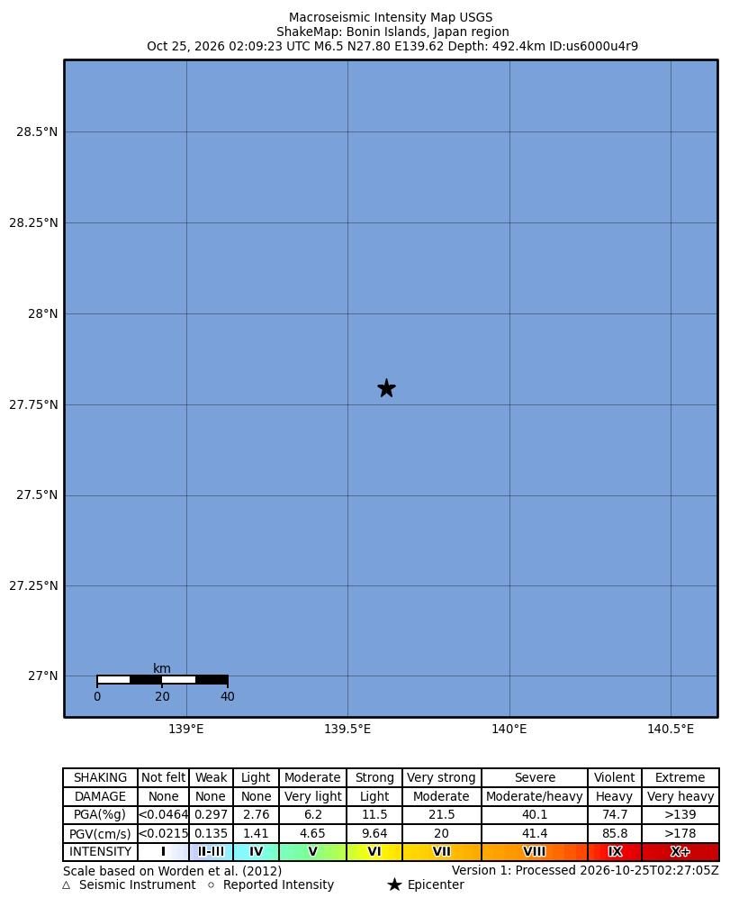
- USGS, reviewed (as reported by aggregator sites): M6.5 at 492.4 km, 27.7953°N 139.6184°E, with a green, minimal-impact estimate, according to QuakeMap24.
- EMSC: M6.3 at 497 km. GFZ: M6.3 at 486 km.
The Mi magnitude is a rapid estimate made by tsunami warning centres, and such initial values are often revised. JMA's scale also differs from the moment magnitude most international agencies report. The bottom line: a magnitude in the mid-6 to 7 range, with a source somewhere between 470 and 497 km down.
A smaller event followed at 02:36 UTC, at a similar depth of about 499 km: M4.8 according to USGS, M5.0 according to GFZ.
Why large earthquakes happen so deep here
The Pacific Plate dives westward beneath the Philippine Sea Plate at the Izu-Bonin (Ogasawara) Trench, east of the islands. The sinking slab descends steeply into the mantle. Earthquakes keep occurring inside it hundreds of kilometres below the surface. Weathernews noted that this event is thought to have occurred within the deeply subducted Pacific Plate. Because the slab slopes downward to the west, the deepest earthquakes plot west of the islands, as this one did.
This part of the slab is unusual. Tomography studies find that the Pacific slab in the Izu-Bonin region splits at about 28°N, close to this epicentre, and penetrates into the lower mantle.
Felt hundreds of kilometres away
NHK reported shindo 1 to 2 across a wide area from Tohoku to Tokai. Shindo 2 was observed in parts of Miyagi, Yamagata and Fukushima prefectures, among others, and shaking was also felt in Tokyo, Kanagawa, Saitama, Chiba and Shizuoka.
This pattern has a name in Japanese seismology: an "abnormal seismic intensity zone" (異常震域). Shaking did not form neat circles around the epicentre. It was skewed north toward Kanto and Tohoku. Seismic waves travel efficiently up through the cold, rigid slab toward the trench, so people on the Pacific side of eastern and northern Japan can feel a deep earthquake more than people closer to the epicentre. For residents of Sendai or Tokyo who felt a gentle sway on a Sunday morning, this is the reason.
What our simulator shows
HazardSim uses a simplified model. It estimates zones of strong shaking around the event point from magnitude and depth, then counts people living in OpenStreetMap towns inside each zone. For this event, all three zones (intensity 6, 7 and 8) have a radius of 0 km, and the count of people inside them is 0.
That result fits the observations. At a depth near 470 km, the shaking that reaches the surface is weak, and the highest intensity observed anywhere was shindo 3. Our model does not reproduce effects such as the abnormal intensity zone, where weak shaking travels far along the slab. It is a tool for estimating where strong shaking is likely, not a map of everywhere a quake is felt. The USGS "felt: 0" value in our data only counts "Did You Feel It?" responses, and is not a measure of impact.
How it compares, and the aftermath
Large deep earthquakes are a recurring feature of this region. JMA records for the same source area list M6.9 on 23 June 2015 (maximum shindo 4), M6.9 on 18 April 2020 (shindo 4), M6.9 on 27 April 2024 (shindo 3) and M6.3 on 8 July 2024 (shindo 3), according to the Yahoo! earthquake history list. On JMA's figure of M7.0, the October 2026 event is the largest listed in this region since 2015.
The benchmark remains 30 May 2015, when a Mw 7.9 earthquake (JMA M8.1) struck about 680 km beneath the Ogasawara Islands. Researchers describe it as the largest recorded deep-focus earthquake in the Izu-Bonin slab and the deepest event of Mw 7.8 or more on record. It produced significant shaking 1,000 to 2,000 km from the epicentre.
As of 25 October 2026, we found no reports of deaths, injuries, displaced people or damage from JMA, NHK, Kyodo or other outlets. We also found no official damage assessment, so the absence of losses is unreported rather than formally confirmed. No tsunami was expected, and none was reported.
What the simulator shows
At this depth and distance from the nearest towns the model finds no populated place with shaking above intensity V.
This is a simplified model, not a damage report. Real effects depend on soil, buildings, terrain and the details of the event.
Sources
- Official data: USGS
- GeoNames (CC BY 4.0): geonames.org
- USGS: USGS event page pt26297050
- NHK: 【地震速報】小笠原で震度3 津波の心配なし
- NHK: 深発地震 小笠原で震度3 広い範囲で揺れ観測(11:10)
- Weathernews: 小笠原諸島西方沖でM7.0の深発地震 東京都小笠原村で震度3 津波の心配なし
- Okinawa Times (Kyodo): 震度速報=気象庁発表(25日11時12分)
- QuakeMap24: M6.5 Earthquake near Bonin Islands, Japan region (USGS data)
- Yahoo!天気・災害: 地震の履歴一覧(震源地:小笠原諸島西方沖)
- Earth and Planetary Science Letters (Ye et al.): The isolated ~680 km deep 30 May 2015 MW 7.9 Ogasawara (Bonin) Islands earthquake
- Scientific Reports (Zhao et al.): Tomography of the subducting Pacific slab and the 2015 Bonin deepest earthquake (Mw 7.9)
This review was compiled with AI assistance from the sources listed below and checked against official data.
More recent events
Click a point to open the event
 M6.2Magnitude 6.2 earthquake: Espiritu Santo Island, Vanuatu
 M6.5Magnitude 6.5 earthquake: Bonin Islands, Japan
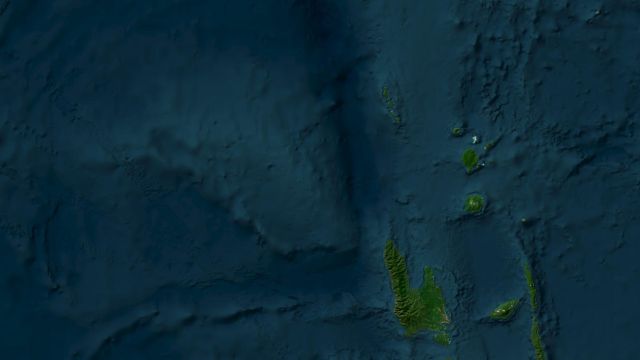 M6.3Magnitude 6.3 earthquake: Torres Islands, Vanuatu
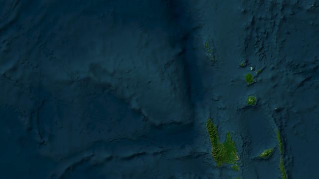 M6.9Magnitude 6.9 earthquake: Torres Islands region, Vanuatu
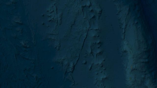 M7.0Magnitude 7.0 earthquake: Bonin Islands, Japan
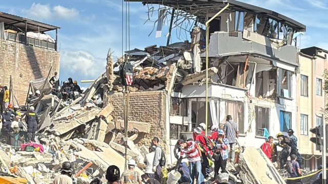 M7.0ReviewMw 7.0 Baqên County earthquake, Nagqu, Tibet: October 2026 review