
Real events · Eruption · 8 October 2026
Volcanic eruption: Taal, Philippines
Photo of the area, not of this event · Photo: Ray in Manila, CC BY 2.0, Wikimedia Commons
On 8 October 2026 GDACS raised the alert level for this volcano to orange: Taal, Philippines.
orangeGDACS
2,328,559people within 30 km
Key facts
- Time
- 8 October 2026, 10:29 UTC
- Alert level
- GDACS: orange
- Coordinates
- 14.01, 121.00
- Source
- GDACS
What the simulator shows
Towns listed in GeoNames within 30 km of the volcano are home to 2,328,559 people, and those within 100 km to 29,437,207 people: the distances at which ash fall and pyroclastic flows matter most in a large eruption. The simulator opens a VEI 3 scenario here; move the slider to compare eruption sizes.
| Town | Distance | Population |
|---|---|---|
| Quezon City | 71 km | 3,084,270 |
| Caloocan | 71 km | 1,712,945 |
| Manila | 66 km | 1,600,000 |
| Taguig | 58 km | 1,308,085 |
| Antipolo | 70 km | 913,712 |
| Pasig City | 64 km | 853,050 |
| Valenzuela | 77 km | 725,173 |
| Paranaque City | 52 km | 703,245 |
This is a simplified model, not a damage report. Real effects depend on soil, buildings, terrain and the details of the event.
Open in the simulatorSources
- Official data: GDACS
- GeoNames (CC BY 4.0): geonames.org
More recent events
Click a point to open the event
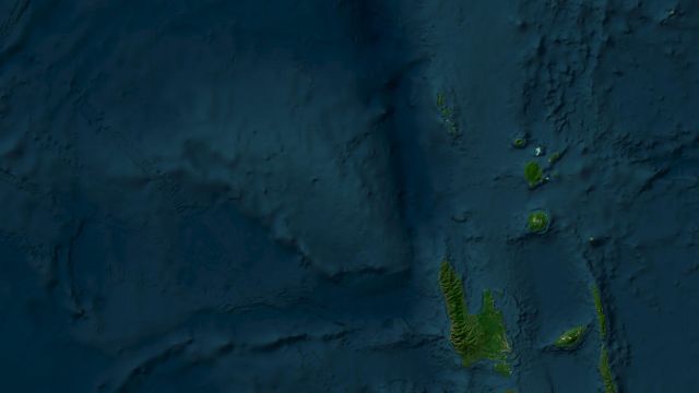 M6.0Magnitude 6.0 earthquake: Torres Islands region, Vanuatu
 M6.9Magnitude 6.9 earthquake: Kamchatka Peninsula, Russia
 269 km/hTyphoon Champi: Guam and Northern Mariana Islands
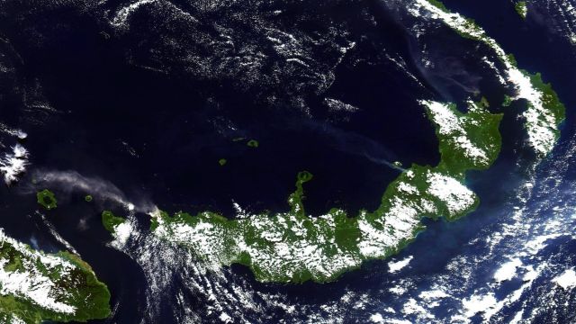 M6.0Magnitude 6.0 earthquake: New Britain region, Papua New Guinea
 M6.8Magnitude 6.8 earthquake: Central Mid-Atlantic Ridge
 M6.7Magnitude 6.7 earthquake: Central Mid-Atlantic Ridge