Real events · Earthquake · 13 October 2026
Magnitude 6.0 earthquake: New Britain region, Papua New Guinea
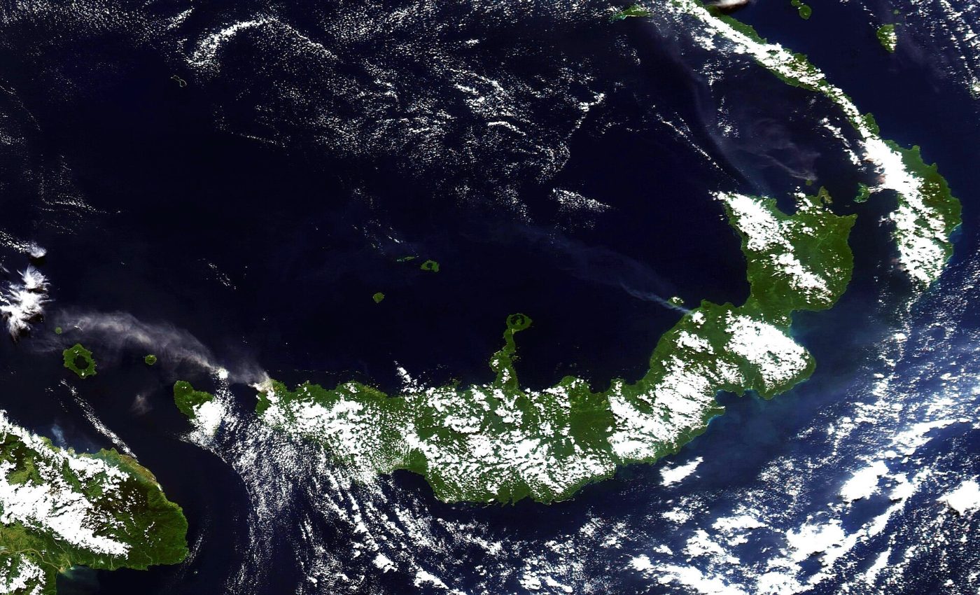
Photo of the area, not of this event · Photo: NASA image courtesy Jesse Allen, based on data from the MODIS Rapid Response Tea, Public domain, Wikimedia Commons
On 13 October 2026 at 18:45 UTC a magnitude 6.0 earthquake struck at a depth of 21 km. Location: New Britain region, Papua New Guinea.
No tsunami message was issued for this earthquake. The USGS PAGER system rates the expected losses as green; the scale runs from green to red.
Open in the simulatorKey facts
- Time
- 13 October 2026, 18:45 UTC
- Magnitude
- 6.0 (mww)
- Depth
- 20.8 km
- Tsunami
- none
- Alert level
- PAGER: green
- Coordinates
- -5.48, 152.14
- Source
- USGS
What the simulator shows
The simulator turns magnitude and depth into shaking intensity on the Modified Mercalli scale. By that estimate intensity VI, at which loose objects fall from shelves, reaches 25 km from the epicentre, and no town listed in GeoNames lies inside that circle.
This is a simplified model, not a damage report. Real effects depend on soil, buildings, terrain and the details of the event.
Open in the simulatorSources
- Official data: USGS
- GeoNames (CC BY 4.0): geonames.org
More recent events
Click a point to open the event
 M6.0Magnitude 6.0 earthquake: Torres Islands region, Vanuatu
 M6.9Magnitude 6.9 earthquake: Kamchatka Peninsula, Russia
 269 km/hTyphoon Champi: Guam and Northern Mariana Islands
 M6.8Magnitude 6.8 earthquake: Central Mid-Atlantic Ridge
 M6.7Magnitude 6.7 earthquake: Central Mid-Atlantic Ridge
 M6.1Magnitude 6.1 earthquake: Veraguas coast, Panama