Real events · Tropical cyclone · 1 November 2026
Cyclone Murasu: Severe Storm Crosses Andhra Pradesh Coast Near Ongole
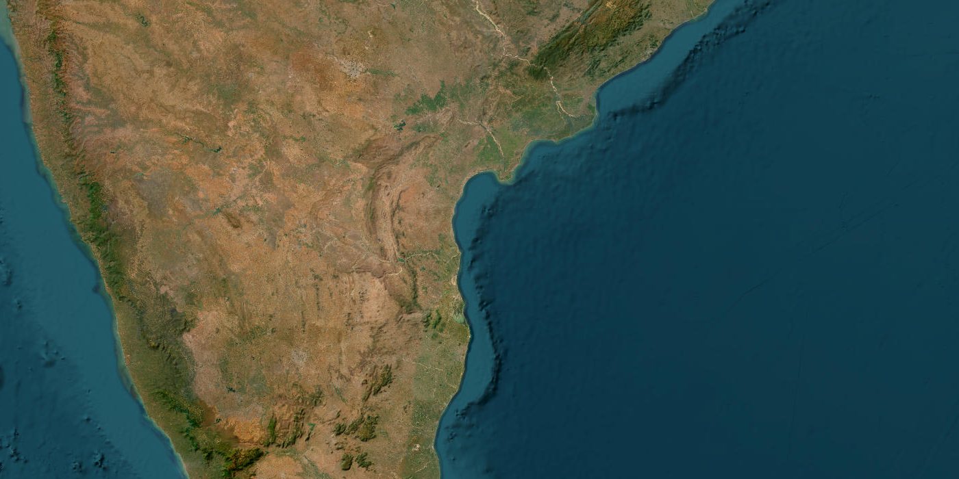
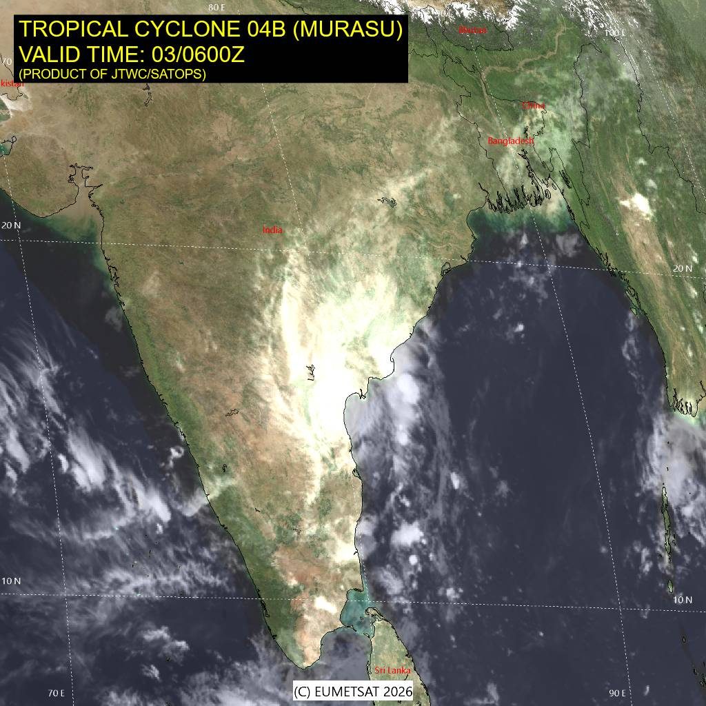
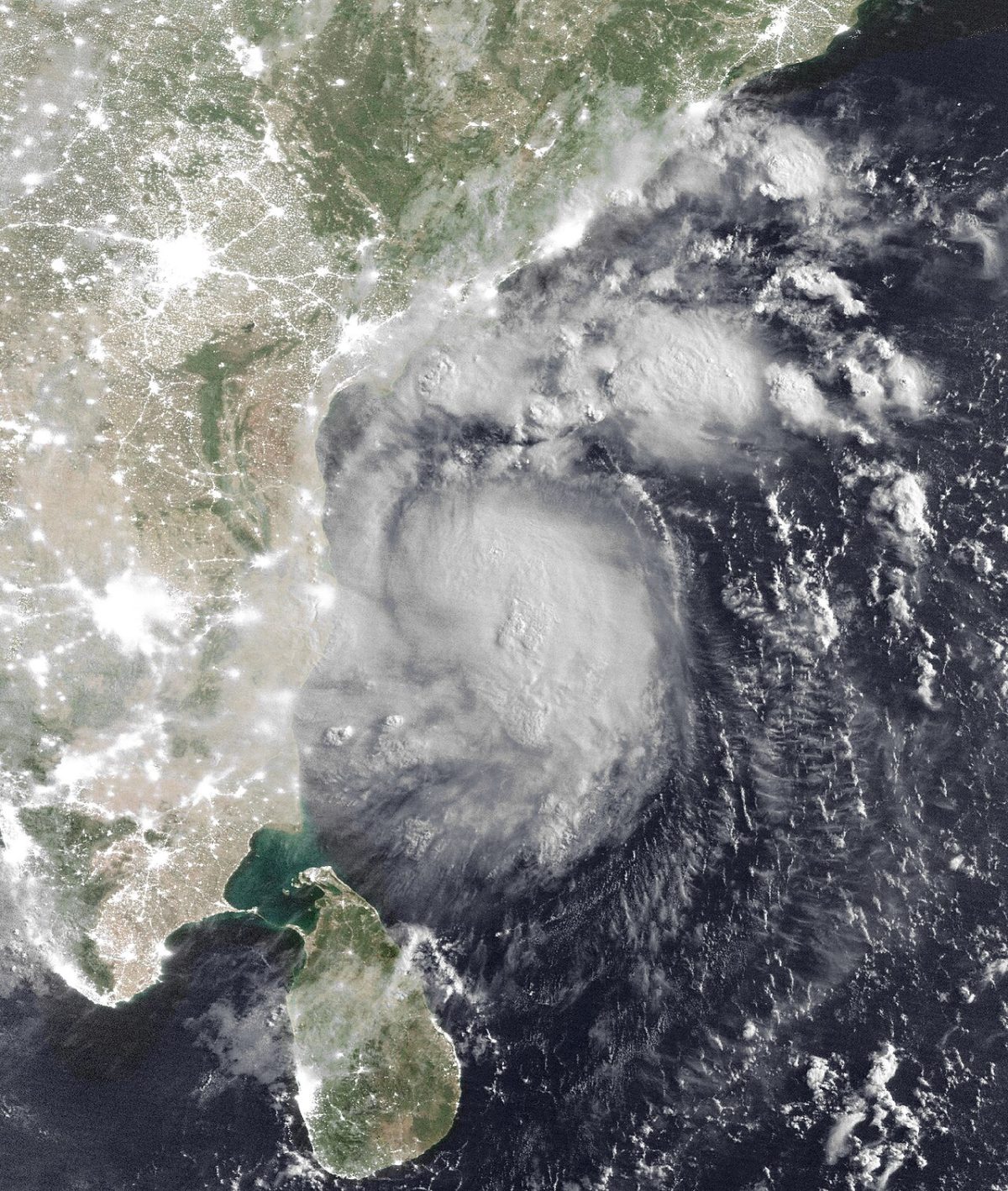
Satellite view of the area
Murasu came ashore in Prakasam district early on 3 November 2026, less than a week after Cyclone Arnab. It brought heavy rain, flooded farmland and, as of 5 November, eight reported deaths.
Key facts
- Time
- 1 November 2026, 00:00 UTC
- Peak wind
- 157 km/h
- Saffir-Simpson category
- 2
- Alert level
- GDACS: red
- Status
- active
- Coordinates
- 14.80, 80.50
- Source
- GDACS
What happened
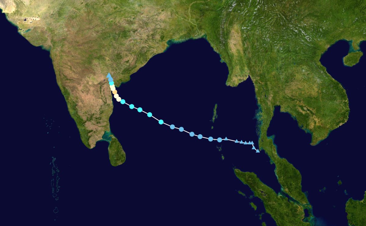
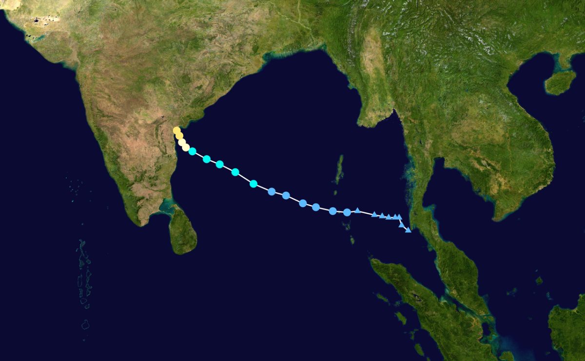
Murasu formed over the southwest Bay of Bengal. According to an India Meteorological Department (IMD) press release, a deep depression became Cyclonic Storm Murasu at 1130 IST on 1 November, while moving west-northwest at about 23 km/h. IMD expected it to become a severe cyclonic storm by the next morning, and it did so on 2 November.
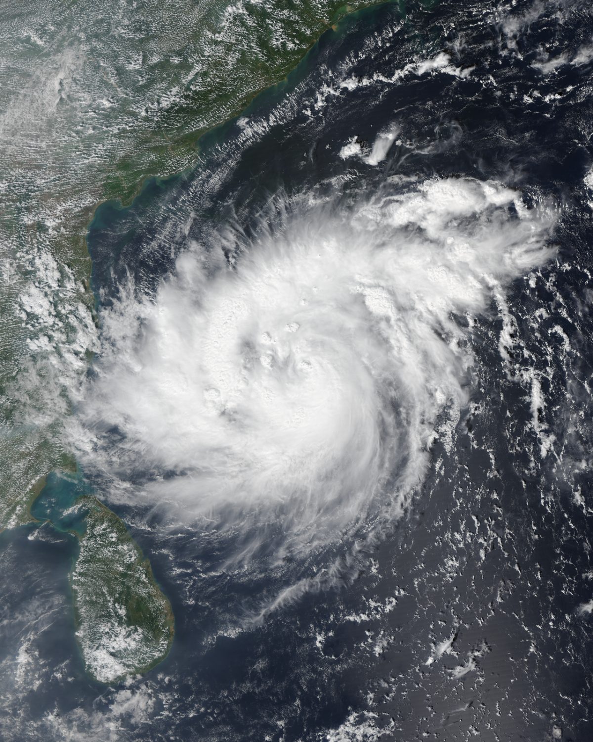
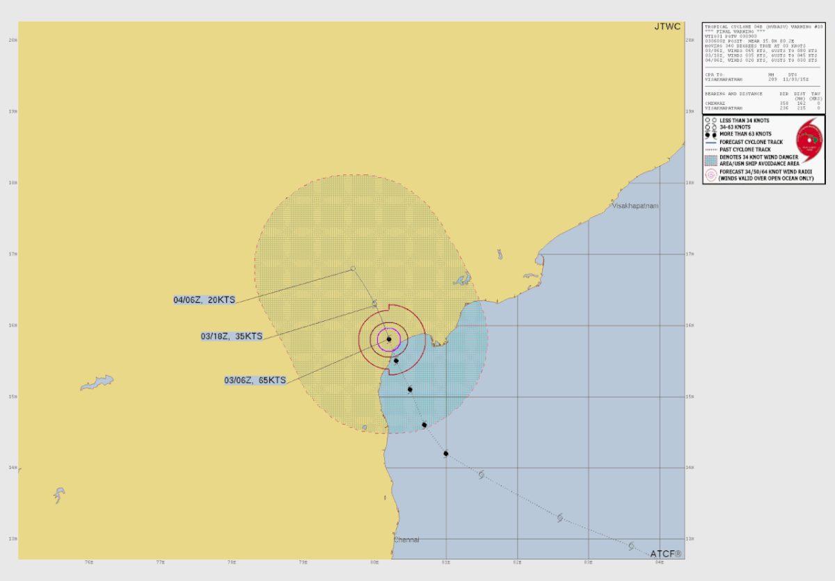
The crossing came overnight. IMD said the landfall process began near Ongole, in Prakasam district, at about 1 am local time on 3 November, and that the storm crossed the coast between 3:30 and 5:30 am IST with winds of 100 to 110 km/h, gusting to 120 km/h. Some reports put the crossing point near Kothapatnam, a little further along the same stretch of coast. By 4 November Murasu had weakened into a depression over land.
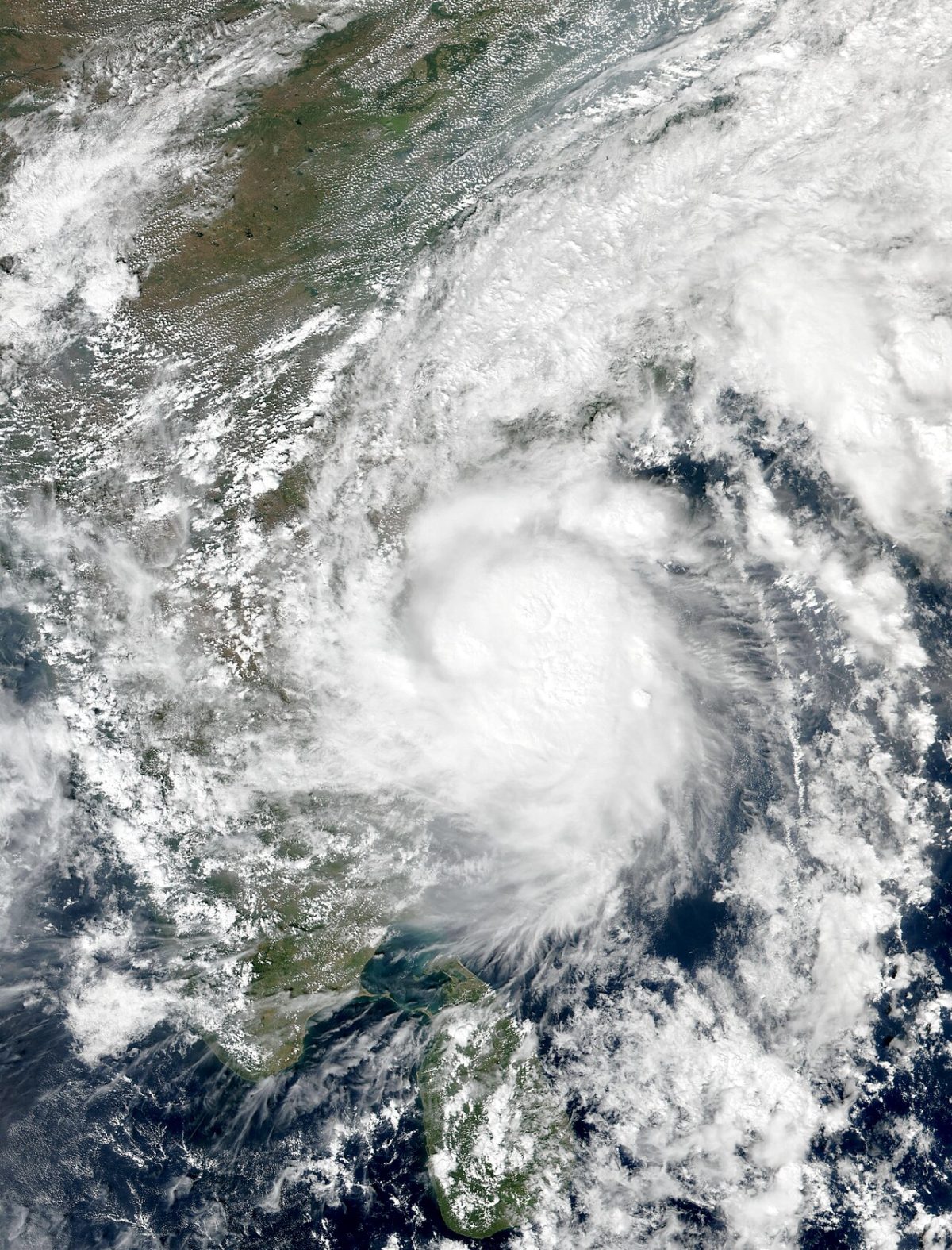
A storm surge of 1 to 1.5 m was warned for Bapatla, Krishna and Prakasam. Andhra Pradesh, Telangana, Odisha, Chhattisgarh and Tamil Nadu were placed on alert, and schools closed in parts of Andhra Pradesh and in Cuddalore, Tamil Nadu.
The numbers so far
The reported death toll grew over three days, which is common in the first reports after a cyclone. On 3 November the managing director of the Andhra Pradesh State Disaster Management Authority (APSDMA) told Reuters that no deaths or injuries had been reported, as Al Jazeera reported. By 4 November APSDMA had confirmed two deaths, both in Bapatla district, according to The News Minute.
A preliminary state assessment published on 5 November gave a higher figure: eight deaths as of 5 November, five in Bapatla, two in Guntur and one in Palnadu. The same assessment, reported by the Deccan Chronicle and IANS, listed:
- estimated losses of ₹1,918.55 crore, up from about ₹344 crore in the 4 November estimate;
- 983 houses, 346 boats and 220 fishing nets damaged;
- crops damaged on 143,122 ha, affecting 186,063 farmers;
- horticulture damaged on 6,749 ha, affecting 12,586 farmers.
Officials said an accurate crop-loss figure would take 48 to 72 hours after floodwaters receded. On 4 November APSDMA reported 12,230 people in relief centres, and 776 of 814 monitored minor irrigation tanks were on high alert. Xinhua reported 2,750 electricity poles damaged.
One further report is unconfirmed. A lower-tier outlet said on 5 November that four fishermen from Tamil Nadu had died and five were missing after their boat capsized off Prakasam, having reportedly left Nizampatnam port on 3 November without notifying authorities. No official agency has confirmed this, and it is unclear whether these deaths are part of the state's count. No official injury figure had been published, and no final toll had been issued as of 6 November.
Why this coast, and why the rain mattered
October and November are a main peak for Bay of Bengal cyclones. Storms that form in the southwest and west-central Bay often track west-northwest toward the Andhra Pradesh and Tamil Nadu coast, and Murasu followed that path.
Timing made the damage worse. Very Severe Cyclonic Storm Arnab had crossed the coast near Narsapur and Yanam on 28 October, and Xinhua reported it killed at least 12 people in Andhra Pradesh and Odisha. East Godavari had recorded 529.8 mm of rain by 2 November. With the ground already saturated, Murasu's rain had little room to soak in.
State rainfall figures quoted by The Daily Pioneer show the heaviest totals near the landfall zone: 198.01 mm at Naguluppalapadu, 182.25 mm at Kothapatnam and 119.75 mm in Bapatla town. Prakasam itself still had a 58.6% cumulative rainfall deficit, so the same rain that flooded fields elsewhere eased dry conditions there.
How Murasu compares
By IMD's measure Murasu was a severe cyclonic storm, a class covering 3-minute sustained winds of 89 to 117 km/h. That makes it weaker than Arnab, which peaked at 155 km/h. GDACS gave a higher figure of 157 km/h (Category 2) and issued a Red alert for India. The two numbers are separate estimates using different averaging methods, so they should not be read as a contradiction.
This stretch of coast has been hit before. Cyclone Michaung made landfall near Bapatla in December 2023 and killed at least 17 people. Cyclone Laila crossed near Bapatla in May 2010, killed about 25 or more and hit Ongole and Prakasam hard. Cyclone Montha in October 2025 dropped about 25 cm of rain at Ongole. Further back, the 1977 Andhra Pradesh cyclone killed at least 10,000 people. Better warnings and evacuations since then have cut death tolls sharply, and Murasu's single-digit official count so far fits that pattern.
What our simulator shows
The HazardSim model is deliberately simple. It takes one point and one wind value from GDACS, draws circular zones for wind thresholds, and counts people living in OpenStreetMap towns inside each circle. For Murasu we used the GDACS position at 00:00 UTC on 1 November, at 14.8° N, 80.5° E, over the sea off the south Andhra Pradesh coast and well south of Ongole.
Only the 119 km/h zone had a radius, 53 km. The 178 and 209 km/h zones had none, because the storm's winds did not reach those levels. Our count of people in towns inside the 119 km/h zone was zero: from that early position the circle covered mostly open water.
That zero is not a statement about the storm's real impact. The model does not follow the track to landfall, and it does not include rain, flooding or storm surge, which caused most of the damage here. The GDACS Red alert reflects the full forecast path and the population along it.
Relief and what comes next
Evacuations began on 2 November, with plans to move about 30,000 people across the state. About 150 pregnant women and elderly people in Bapatla and NTR districts were moved to hospitals and health centres. Eleven SDRF teams, 13 NDRF teams and 390 fire personnel worked on rescue and relief, according to The Hawk. The state released ₹37 crore to districts for immediate relief. Union Home Minister Amit Shah called Chief Minister Chandrababu Naidu, who held review meetings and planned to visit affected areas.
The figures above are preliminary. Crop losses are expected to be revised once water drains from fields in Bapatla, Prakasam, Guntur, Palnadu and Krishna, and we will update this page if the official toll changes.
What the simulator shows
At 157 km/h the wind model puts hurricane-force winds (119 km/h and above) within about 53 km of the point on the map; no town listed in GeoNames lies inside that circle. The point is where the track first came within reach of a large city.
This is a simplified model, not a damage report. Real effects depend on soil, buildings, terrain and the details of the event.
Open in the simulatorSources
- Official data: GDACS
- GeoNames (CC BY 4.0): geonames.org
- India Meteorological Department: Press Release: Deep Depression intensified into Cyclonic Storm MURASU
- GDACS: GDACS Tropical Cyclone report MURASU
- Al Jazeera: Cyclone Murasu makes landfall on India's eastern coast
- The News Minute: Cyclone Murasu leaves 2 dead, damages 312 houses in Andhra Pradesh
- Deccan Chronicle: Naidu to Visit Cyclone-Hit Areas on Friday; Damage Estimated at Rs 1,918 Crore
- Vividh Bharathi / IANS: Andhra: Cyclone Murasu claimed eight lives, caused Rs 1,918 crore loss (IANS)
- The Hawk: Andhra: Cyclone Murasu claimed eight lives, caused Rs 1,918 crore loss
- The Daily Pioneer: Cyclone Murasu makes landfall near Ongole; power outages, crop damage reported
- Global Agriculture: Cyclone Murasu Floods Andhra Pradesh Farmland, Damages Standing Crops
This review was compiled with AI assistance from the sources listed below and checked against official data.
More recent events
Click a point to open the event
 M6.1Magnitude 6.1 earthquake: Lau Islands region, Fiji
 M6.0Magnitude 6.0 earthquake: Torres Islands region, Vanuatu
 M6.0Magnitude 6.0 earthquake: Mie Prefecture coast, Japan
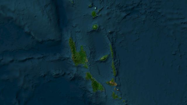 M6.2Magnitude 6.2 earthquake: Espiritu Santo Island, Vanuatu
 M6.4Magnitude 6.4 earthquake: Southeast Pacific Ocean
 M6.0Magnitude 6.0 earthquake: Torres Islands region, Vanuatu