Real events · Earthquake · 5 November 2026
Magnitude 6.1 earthquake: Lau Islands region, Fiji
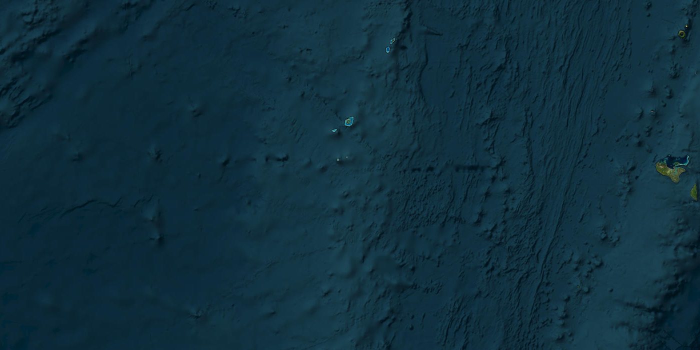
Satellite view of the area
On 5 November 2026 at 17:21 UTC a magnitude 6.1 earthquake struck at a depth of 535 km. Location: Lau Islands region, Fiji.
M6.1Magnitude
535 kmDepth
0people in the intensity VI+ zone
greenUSGS PAGER
No tsunami message was issued for this earthquake. The USGS PAGER system rates the expected losses as green; the scale runs from green to red.
Open in the simulatorKey facts
- Time
- 5 November 2026, 17:21 UTC
- Magnitude
- 6.1 (mww)
- Depth
- 535.0 km
- Tsunami
- none
- Alert level
- PAGER: green
- Coordinates
- -21.20, -178.71
- Source
- USGS
What the simulator shows
At this depth and distance from the nearest towns the model finds no populated place with shaking above intensity V.
This is a simplified model, not a damage report. Real effects depend on soil, buildings, terrain and the details of the event.
Open in the simulatorSources
- Official data: USGS
- GeoNames (CC BY 4.0): geonames.org
More recent events
Click a point to open the event
 M6.0Magnitude 6.0 earthquake: Torres Islands region, Vanuatu
 157 km/hReviewCyclone Murasu: Severe Storm Crosses Andhra Pradesh Coast Near Ongole
 M6.0Magnitude 6.0 earthquake: Mie Prefecture coast, Japan
 M6.2Magnitude 6.2 earthquake: Espiritu Santo Island, Vanuatu
 M6.4Magnitude 6.4 earthquake: Southeast Pacific Ocean
 M6.0Magnitude 6.0 earthquake: Torres Islands region, Vanuatu