Real events · Tropical cyclone · 6 October 2026
Hurricane Isaias: Alabama, United States
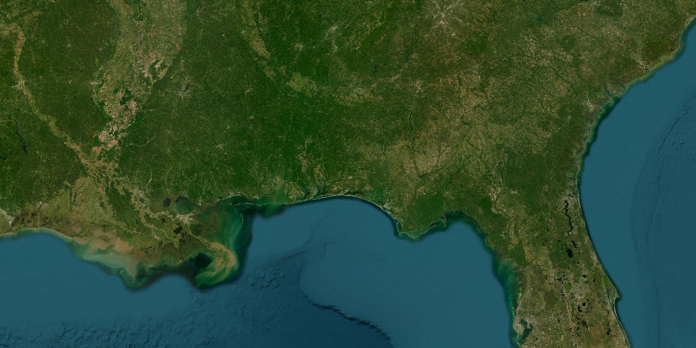
Satellite view of the area · Esri, Maxar, Earthstar Geographics
Hurricane Isaias formed on 6 October 2026 and reached sustained winds of 194 km/h, category 3 on the Saffir-Simpson scale. Main area at risk: Alabama, United States.
Key facts
- Time
- 6 October 2026, 21:00 UTC
- Peak wind
- 194 km/h
- Saffir-Simpson category
- 3
- Alert level
- GDACS: orange
- Status
- ended
- Coordinates
- 30.80, -86.50
- Source
- GDACS
What the simulator shows
At 194 km/h the wind model puts hurricane-force winds (119 km/h and above) within about 90 km of the point on the map. Towns listed in GeoNames inside that circle are home to 669,662 people. Winds of category 3 and above (178 km/h) reach about 40 km (60,049 people). The point is where the track first came within reach of a large city.
| Town | Distance | Population |
|---|---|---|
| East Pensacola Heights | 77 km | 54,104 |
| Pensacola | 80 km | 53,724 |
| Santa Rosa Beach | 52 km | 32,459 |
| Navarre | 56 km | 31,378 |
| Ferry Pass | 75 km | 28,921 |
| Enterprise | 84 km | 27,978 |
| Cantonment | 83 km | 26,493 |
| Bellview | 87 km | 23,355 |
This is a simplified model, not a damage report. Real effects depend on soil, buildings, terrain and the details of the event.
Open in the simulatorSources
- Official data: GDACS
- GeoNames (CC BY 4.0): geonames.org
More recent events
Click a point to open the event
 M6.0Magnitude 6.0 earthquake: Torres Islands region, Vanuatu
 M6.9Magnitude 6.9 earthquake: Kamchatka Peninsula, Russia
 269 km/hTyphoon Champi: Guam and Northern Mariana Islands
 M6.0Magnitude 6.0 earthquake: New Britain region, Papua New Guinea
 M6.8Magnitude 6.8 earthquake: Central Mid-Atlantic Ridge
 M6.7Magnitude 6.7 earthquake: Central Mid-Atlantic Ridge