Real events · Fireball · 30 January 2026
Fireball: South Pacific, off New Zealand's South Island
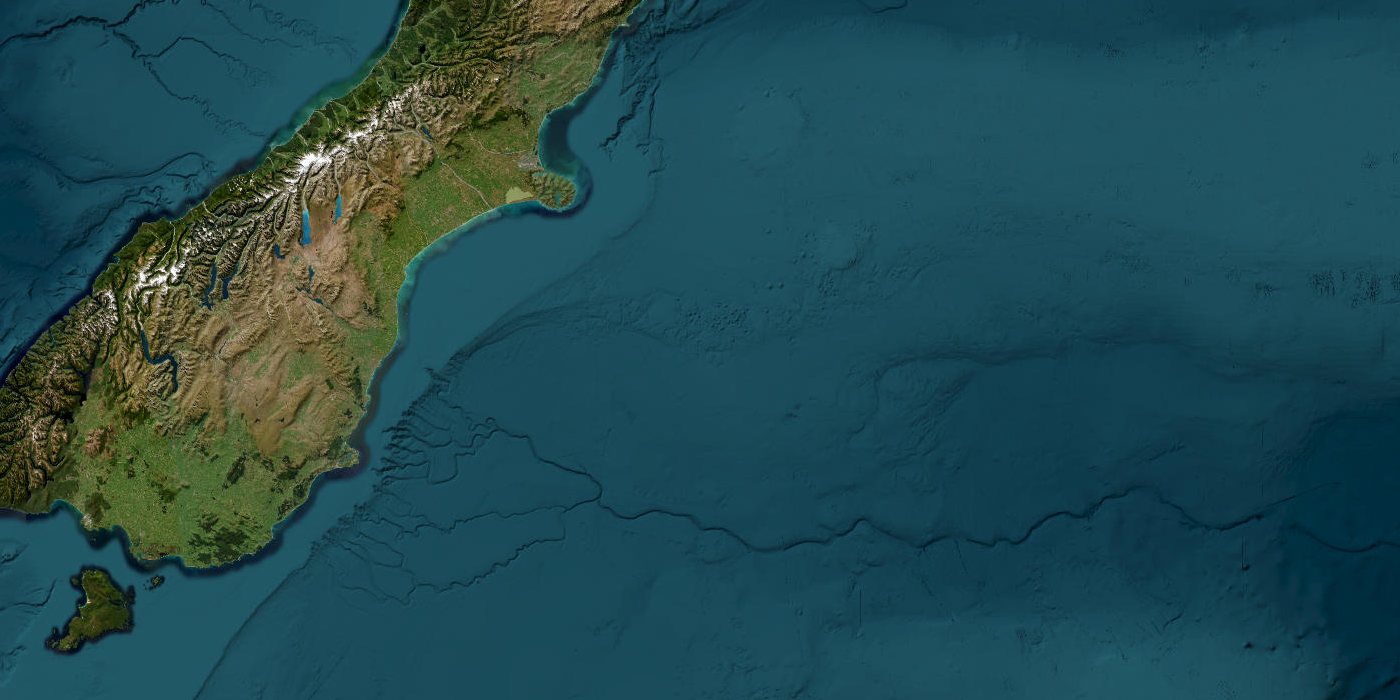
Satellite view of the area · Esri, Maxar, Earthstar Geographics
On 30 January 2026 at 10:25 UTC, US government sensors recorded a bright fireball. Location: South Pacific, off New Zealand's South Island.
0.12 ktImpact energy
89.0 kmBurst altitude
~0.5 mEstimated size
Key facts
- Time
- 30 January 2026, 10:25 UTC
- Impact energy
- 0.12 kt
- Radiated energy
- 3.4 × 10¹⁰ J
- Burst altitude
- 89.0 km
- Speed
- 71.1 km/s
- Estimated size
- ~0.5 m
- Coordinates
- -45.00, 174.50
- Source
- NASA/JPL CNEOS
What the simulator shows
NASA puts the impact energy at 0.12 kilotons of TNT. A stony body about 0.5 m across at 71.1 km/s carries that energy, and that is the scenario the simulator loads. The object exploded 89.0 km above the surface. No town lies within 150 km of the point.
This is a simplified model, not a damage report. Real effects depend on soil, buildings, terrain and the details of the event.
Open in the simulatorSources
- Official data: NASA/JPL CNEOS
- GeoNames (CC BY 4.0): geonames.org
More recent events
Click a point to open the event
 M6.0Magnitude 6.0 earthquake: Torres Islands region, Vanuatu
 M6.9Magnitude 6.9 earthquake: Kamchatka Peninsula, Russia
 269 km/hTyphoon Champi: Guam and Northern Mariana Islands
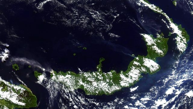 M6.0Magnitude 6.0 earthquake: New Britain region, Papua New Guinea
 M6.8Magnitude 6.8 earthquake: Central Mid-Atlantic Ridge
 M6.7Magnitude 6.7 earthquake: Central Mid-Atlantic Ridge